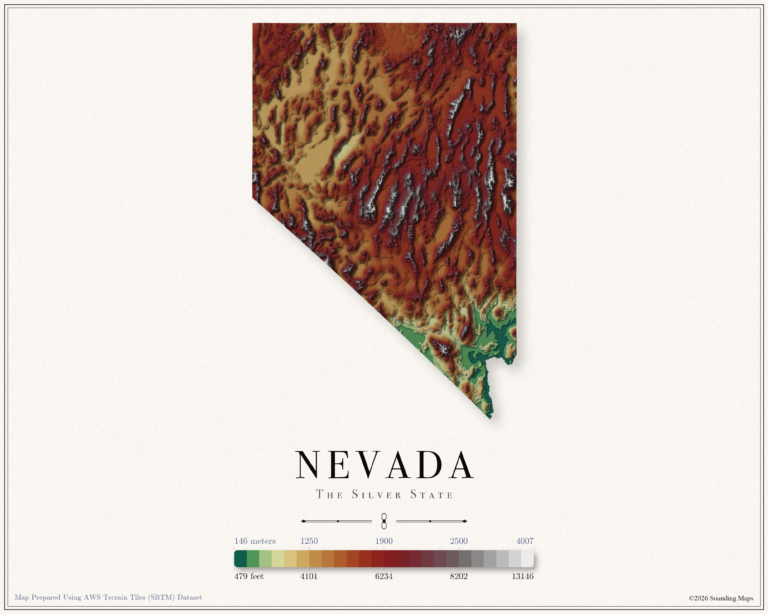
Nevada Elevation Map
This Nevada topographic elevation map shows the Silver State in 24 terraced elevation bands.

Mapping Data
Mapping Data
This Nevada topographic elevation map shows the Silver State in 24 terraced elevation bands.
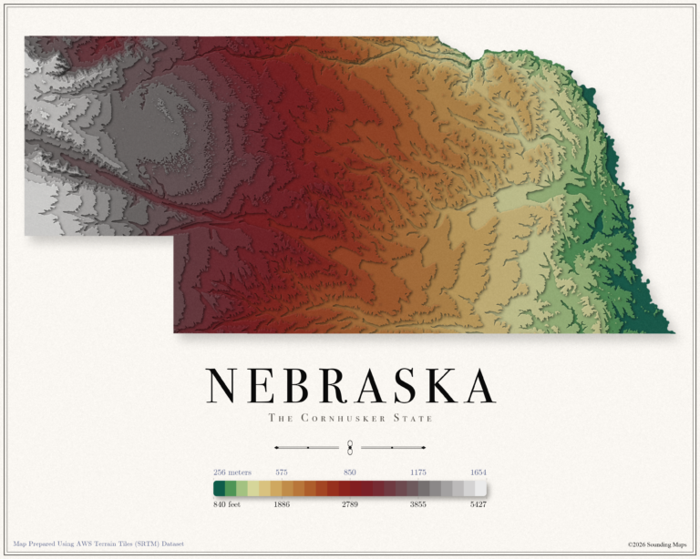
This Nebraska topographic elevation map shows the Cornhusker State in 24 terraced elevation bands.
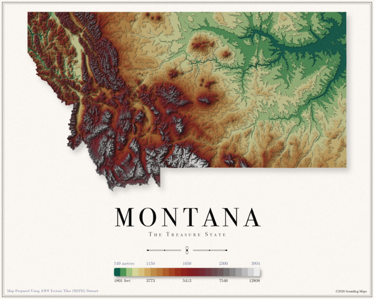
This Montana topographic elevation map shows the Treasure State in 24 terraced elevation bands.
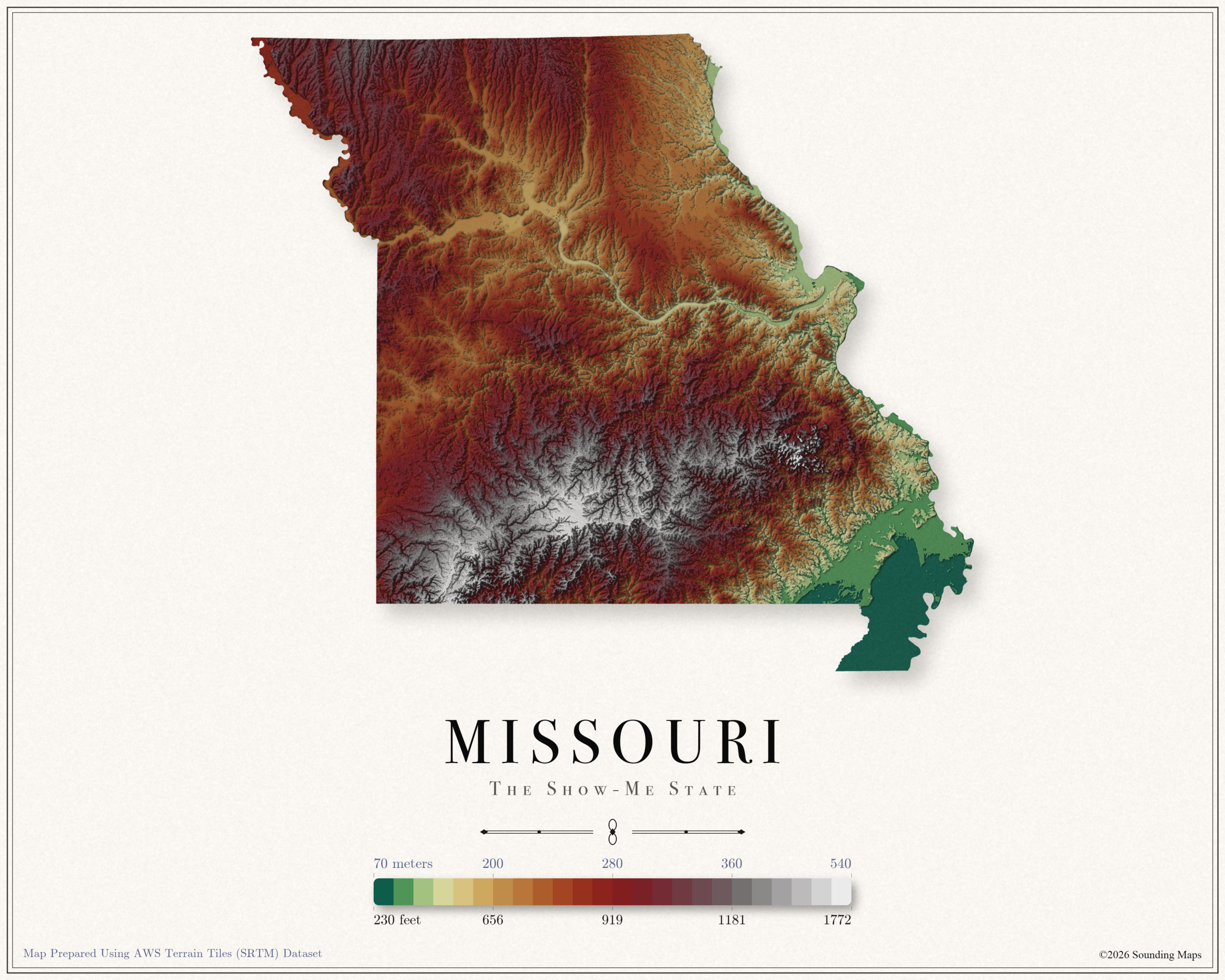
This Missouri topographic elevation map shows the Show Me State in 24 terraced elevation bands.
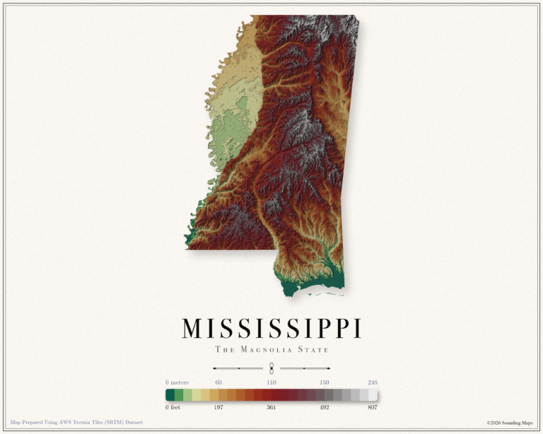
This Mississippi topographic elevation map shows the Magnolia State in 24 terraced elevation bands.
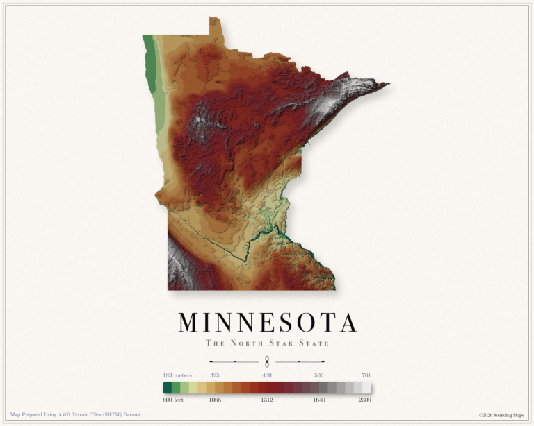
This Minnesota topographic elevation map shows the North Star State in 24 terraced elevation bands.
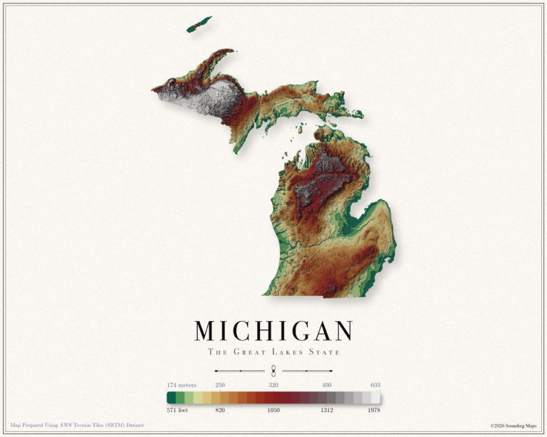
This Michigan topographic elevation map shows the Great Lakes State in 24 terraced elevation bands.
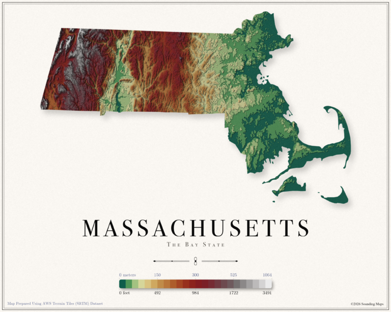
This Massachusetts topographic elevation map shows the Bay State in 24 terraced elevation bands.
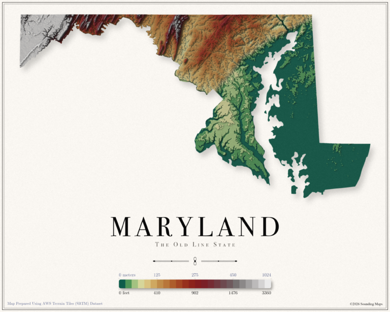
This Maryland topographic elevation map shows the Old Line State in 24 terraced elevation bands.
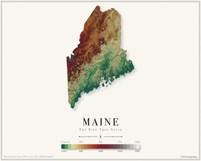
This Maine topographic elevation map shows the Pine Tree State in 24 terraced elevation bands.
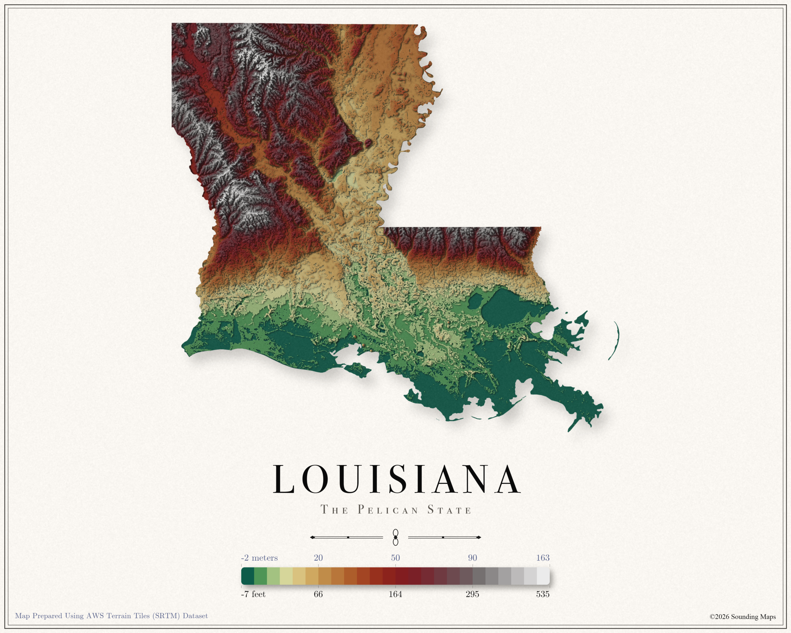
This Louisiana topographic elevation map shows the Pelican State in 24 terraced elevation bands.
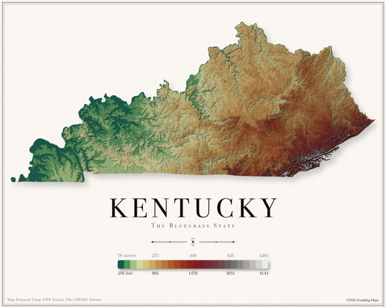
This Kentucky topographic elevation map shows the Bluegrass State in 24 terraced elevation bands.
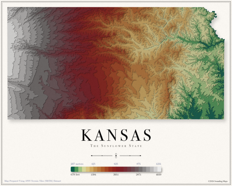
This Kansas topographic elevation map shows the Sunflower State in 24 terraced elevation bands.
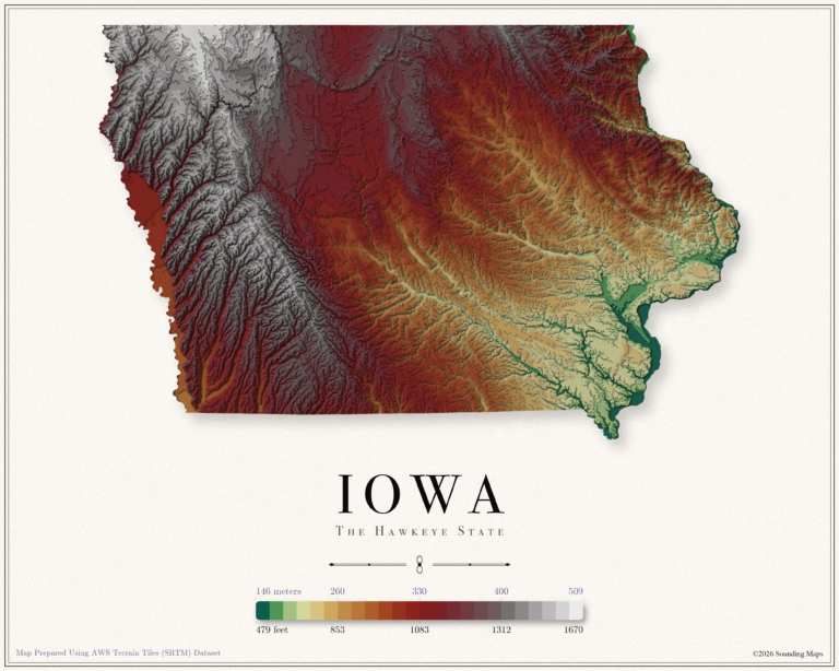
This Iowa topographic elevation map shows the Hawkeye State in 24 terraced elevation bands.
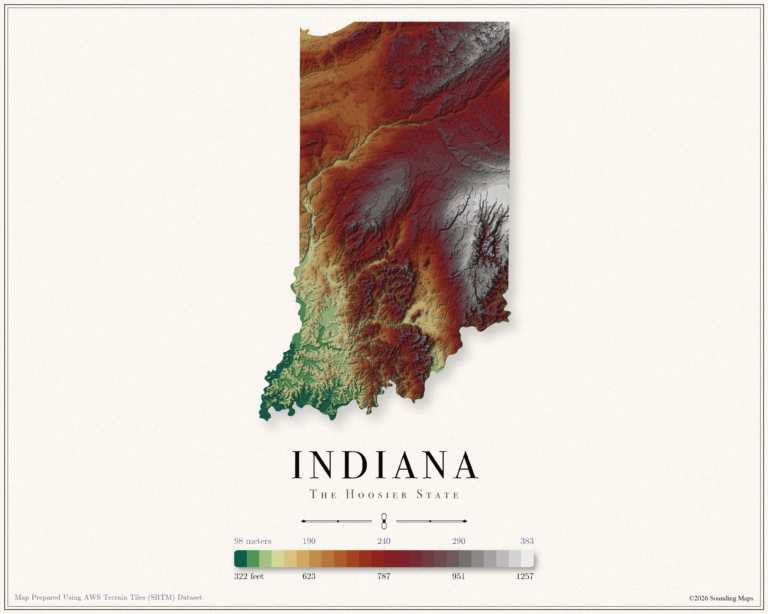
This Indiana topographic elevation map shows the Hoosier State in 24 terraced elevation bands.