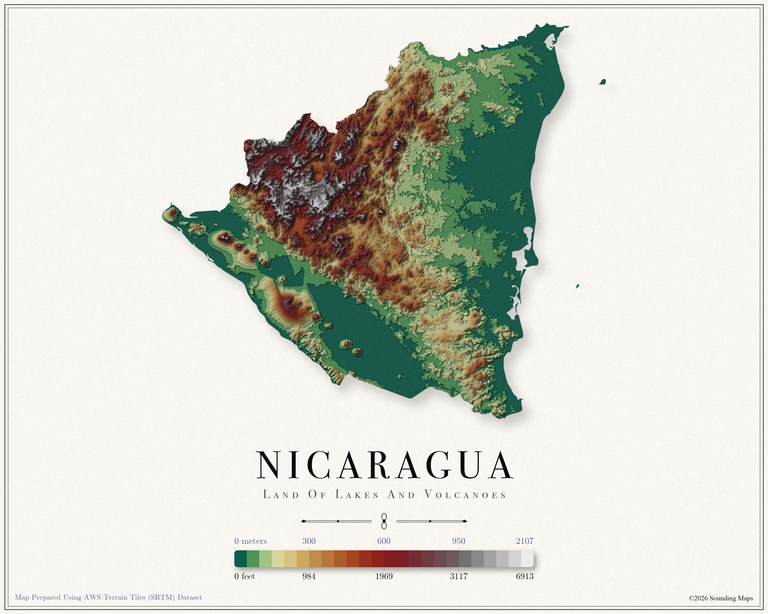
Nicaragua Elevation Map
This Nicaragua topographic elevation map shows the landscape in 24 terraced elevation bands.

Mapping Data
Mapping Data
This Nicaragua topographic elevation map shows the landscape in 24 terraced elevation bands.
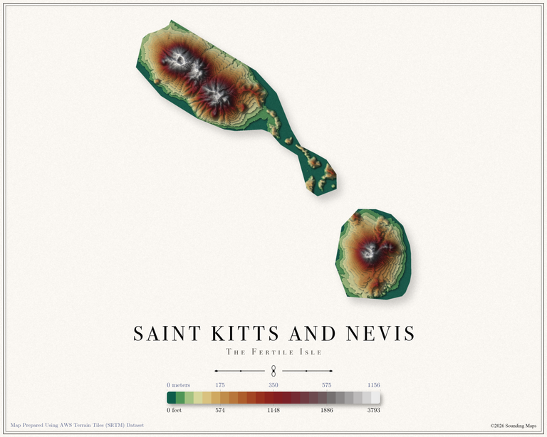
This Saint Vincent topographic elevation map shows the landscape in 24 terraced elevation bands.
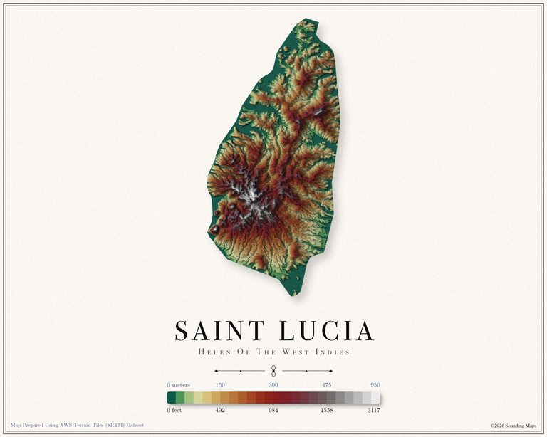
This Saint Lucia topographic elevation map shows the landscape in 24 terraced elevation bands.
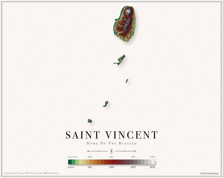
This Saint Vincent topographic elevation map shows the landscape in 24 terraced elevation bands.
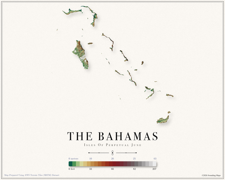
This The Bahamas topographic elevation map shows the landscape in 24 terraced elevation bands.
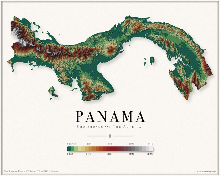
This Panama topographic elevation map shows the landscape in 24 terraced elevation bands.
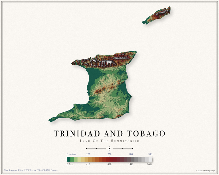
This Trinidad and Tobago topographic elevation map shows the landscape in 24 terraced elevation bands.
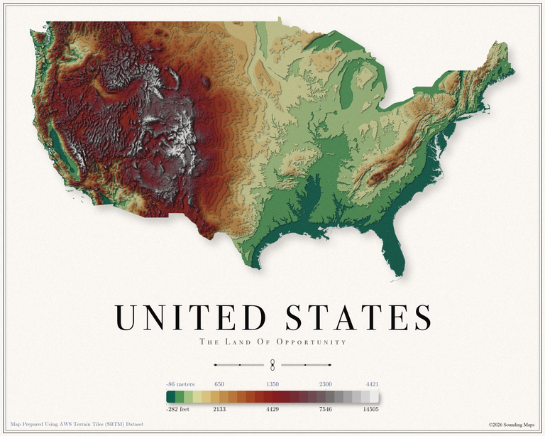
This United States topographic elevation map shows the landscape in 24 terraced elevation bands.
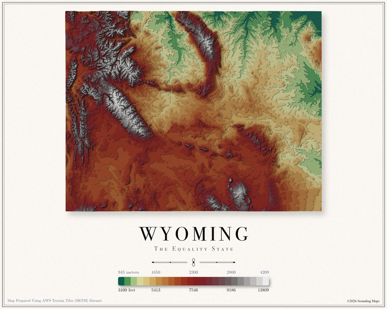
This Wyoming topographic elevation map shows the Equality State in 24 terraced elevation bands.
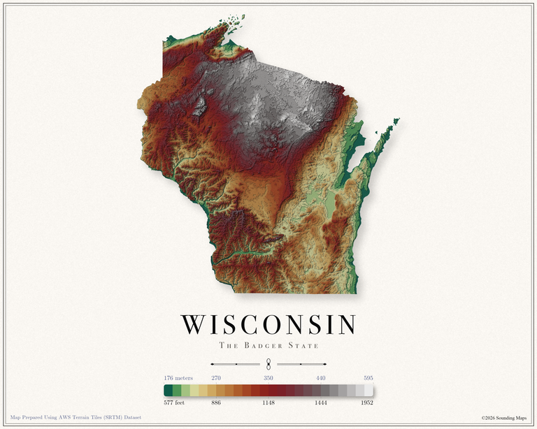
This Wisconsin topographic elevation map shows the Badger State in 24 terraced elevation bands.
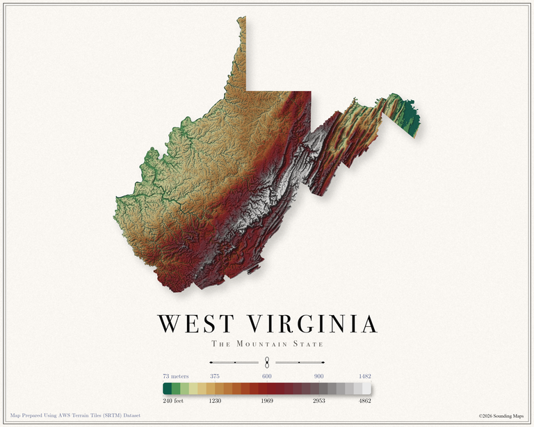
This West Virginia topographic elevation map shows the Mountain State in 24 terraced elevation bands.
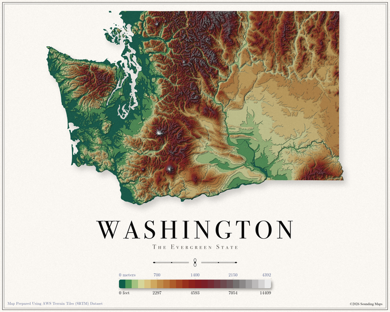
This Washington topographic elevation map shows the Evergreen State in 24 terraced elevation bands.
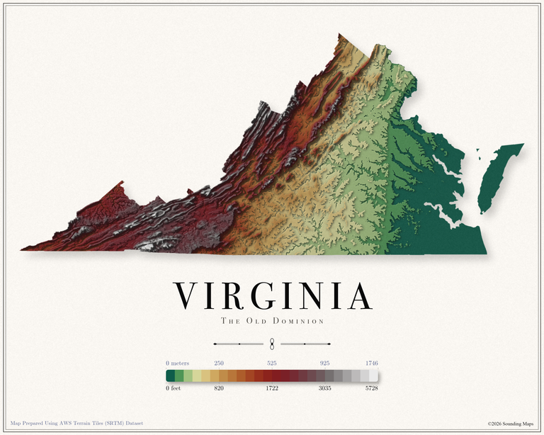
This Virginia topographic elevation map shows the Old Dominion in 24 terraced elevation bands.
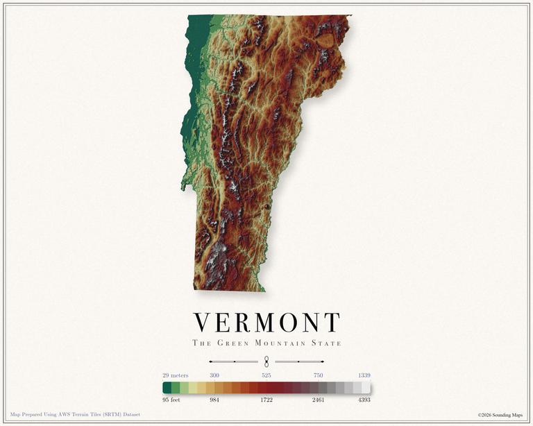
This Vermont topographic elevation map shows the Green Mountain State in 24 terraced elevation bands.
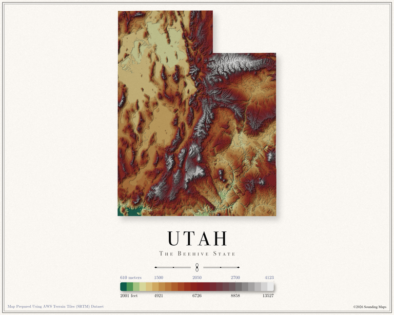
This Utah topographic elevation map shows the Beehive State in 24 terraced elevation bands.