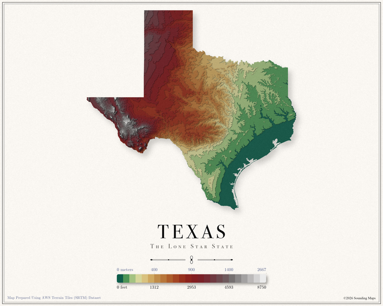
Texas Elevation Map
This Texas topographic elevation map shows the Lone Star State in 24 terraced elevation bands.

Mapping Data
Mapping Data
This Texas topographic elevation map shows the Lone Star State in 24 terraced elevation bands.
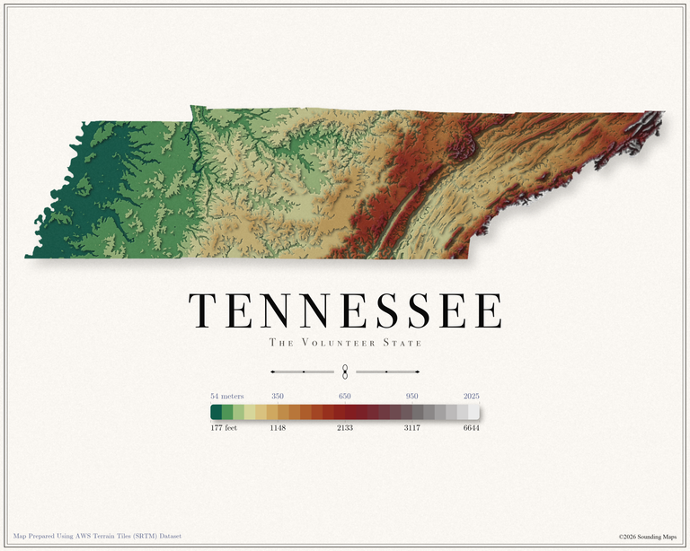
This Tennessee topographic elevation map shows the Volunteer State in 24 terraced elevation bands.
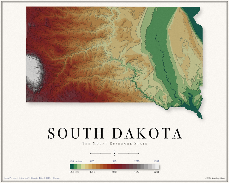
This South Dakota topographic elevation map shows the Mount Rushmore State in 24 terraced elevation bands.
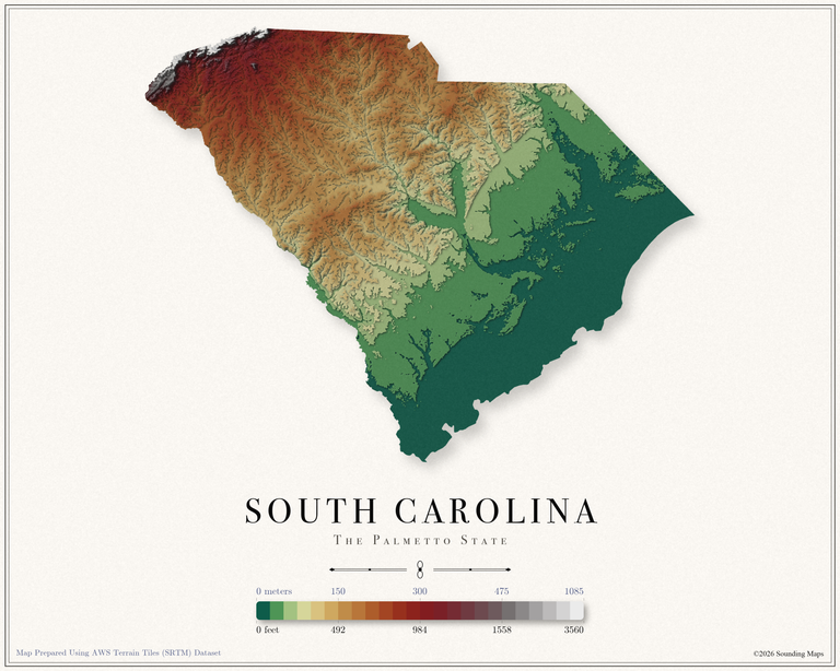
This South Carolina topographic elevation map shows the Palmetto State in 24 terraced elevation bands.
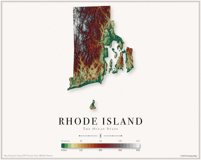
This Rhode Island topographic elevation map shows the Ocean State in 24 terraced elevation bands.
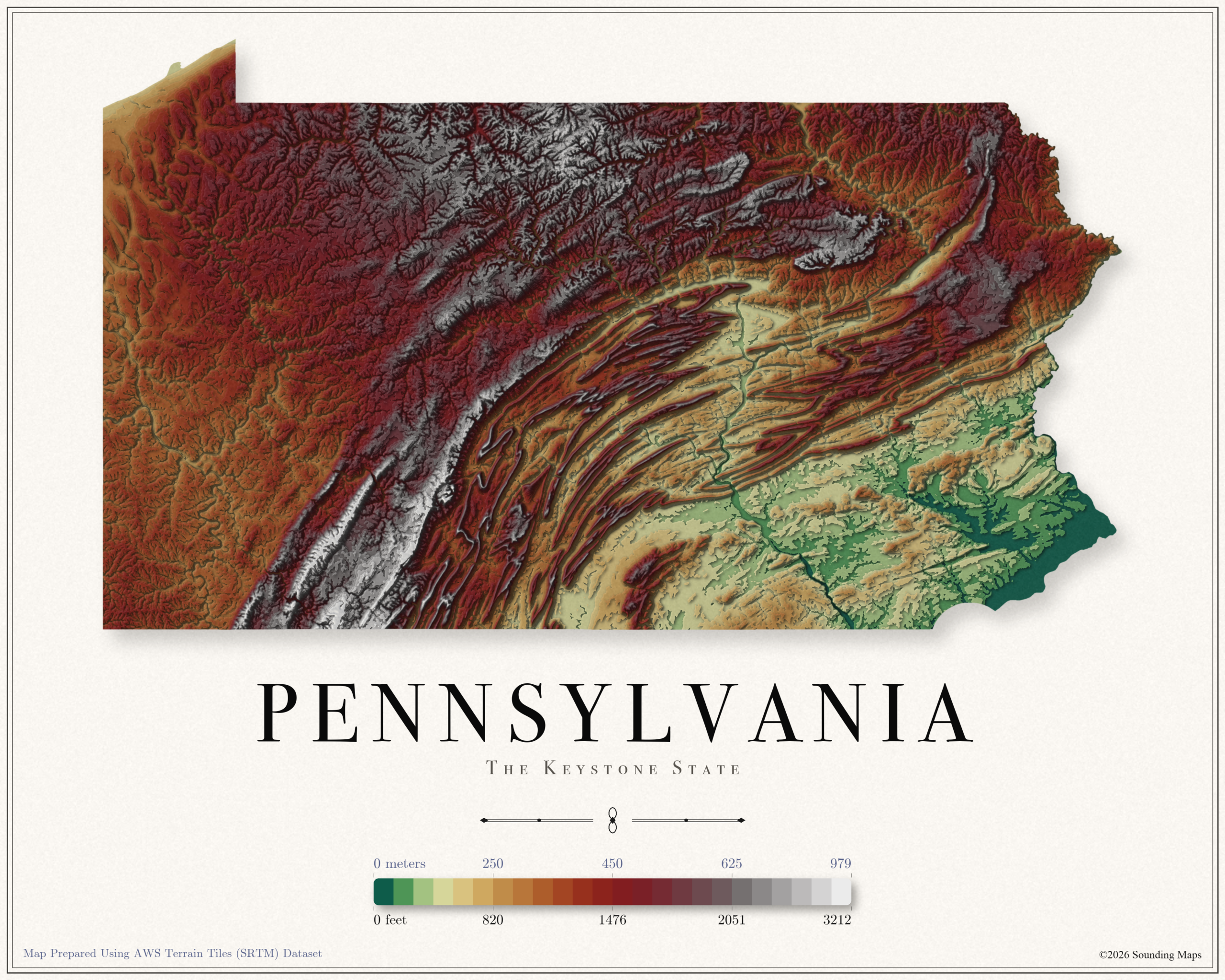
This Pennsylvania topographic elevation map shows the Keystone State in 24 terraced elevation bands.
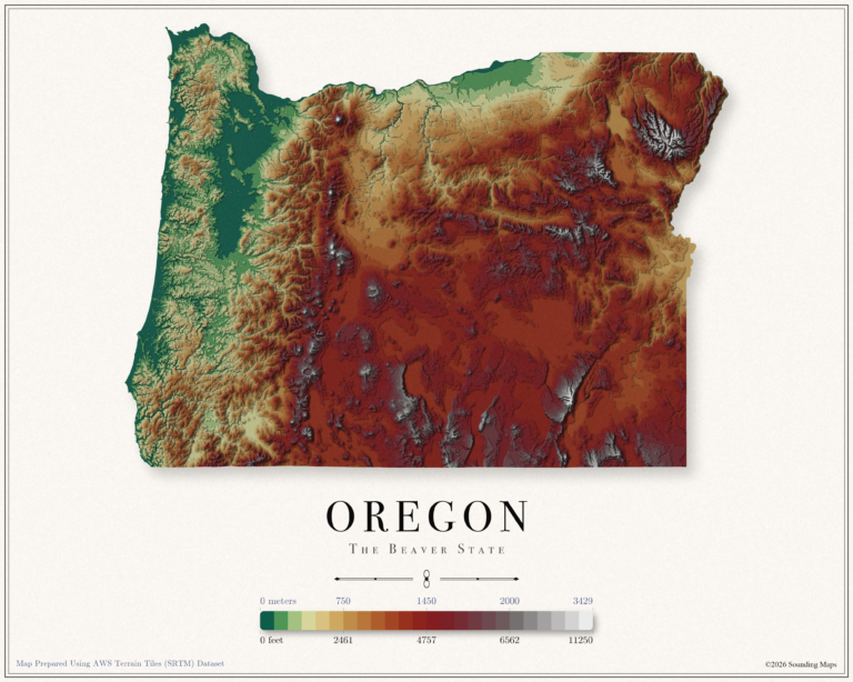
This Oregon topographic elevation map shows the Beaver State in 24 terraced elevation bands.
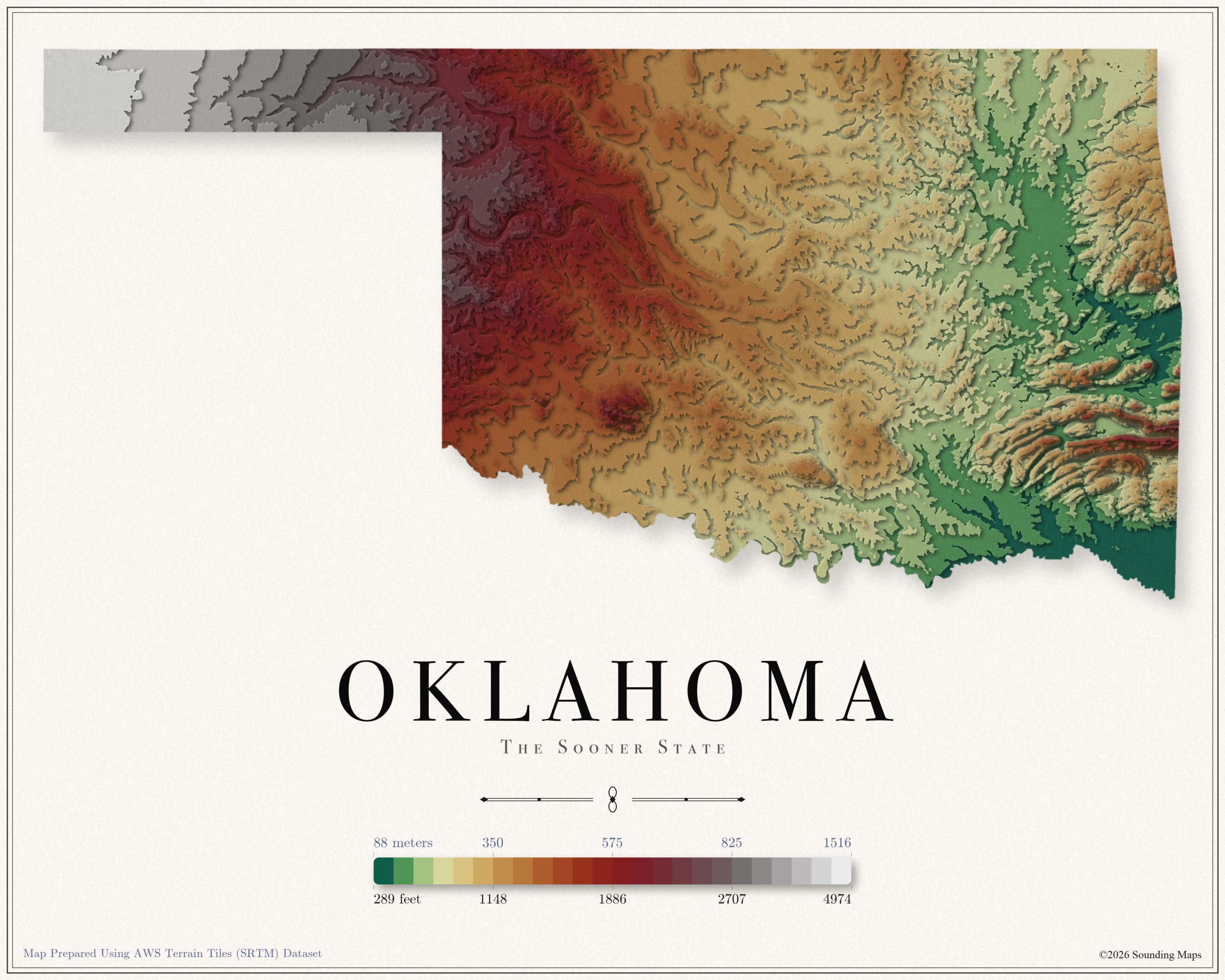
This Oklahoma topographic elevation map shows the Sooner State in 24 terraced elevation bands.
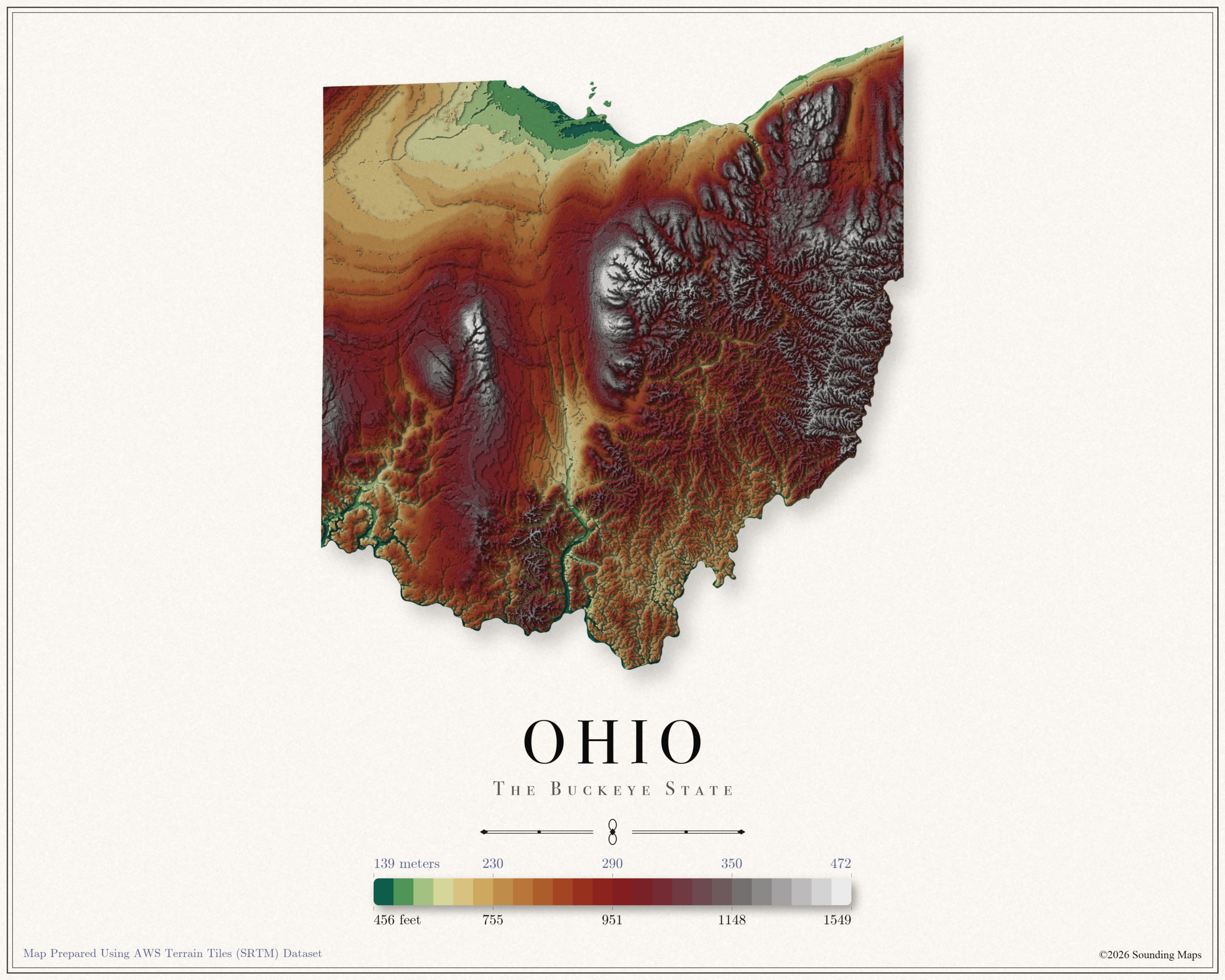
This Ohio topographic elevation map shows the Buckeye State in 24 terraced elevation bands.
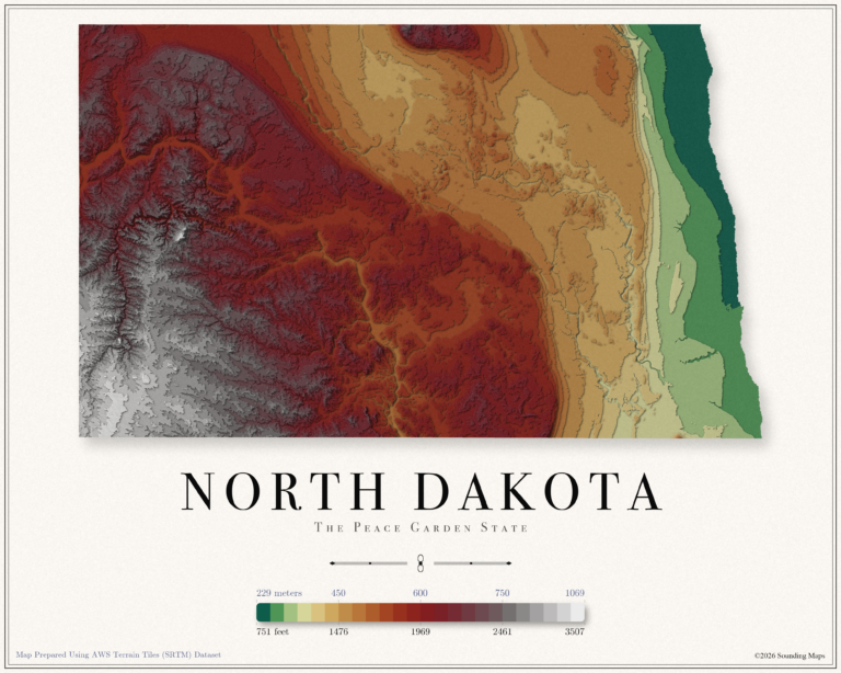
This North Dakota topographic elevation map shows the Peace Garden State in 24 terraced elevation bands.
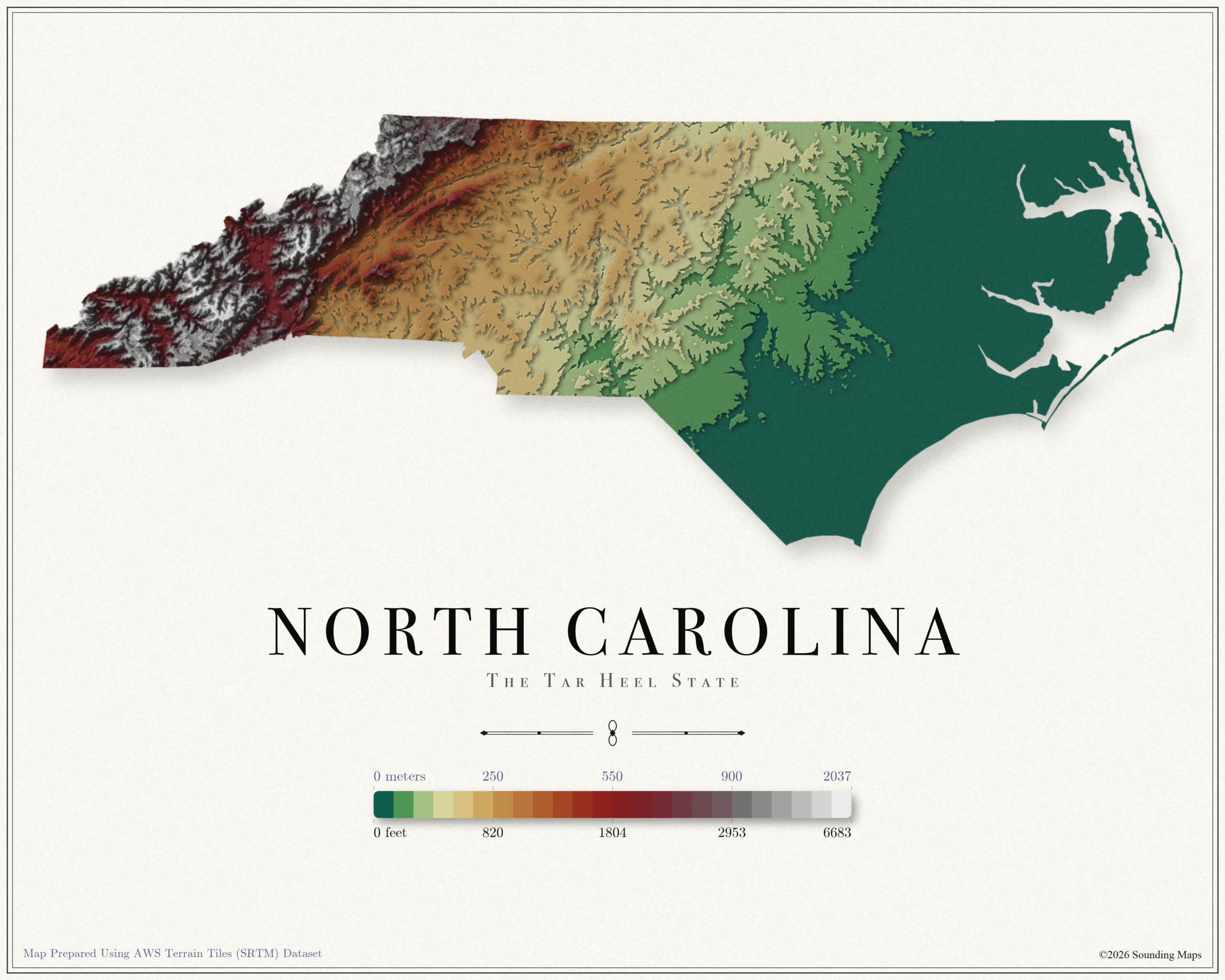
This North Carolina topographic elevation map shows the Tar Heel State in 24 terraced elevation bands.
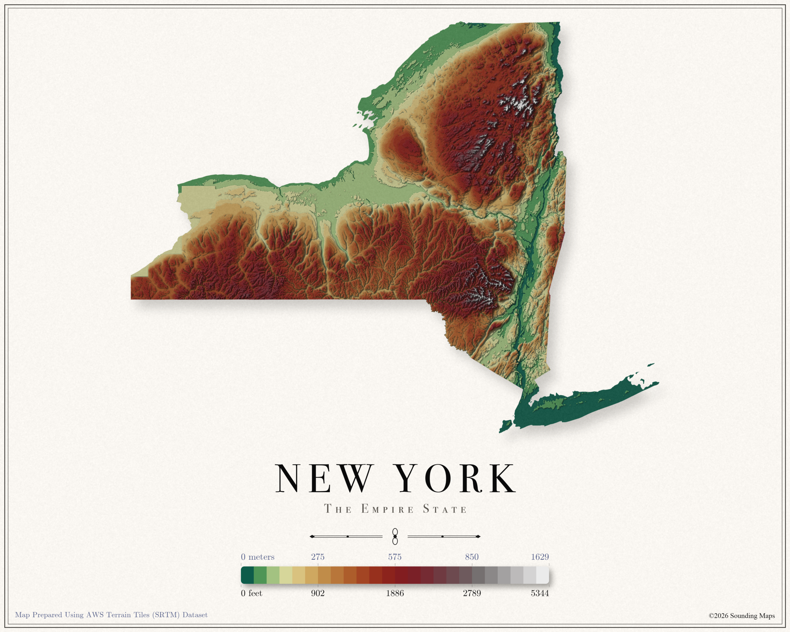
This New York topographic elevation map shows the Empire State in 24 terraced elevation bands.
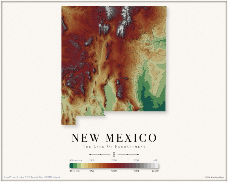
This New Mexico topographic elevation map shows the Land of Enchantment in 24 terraced elevation bands.
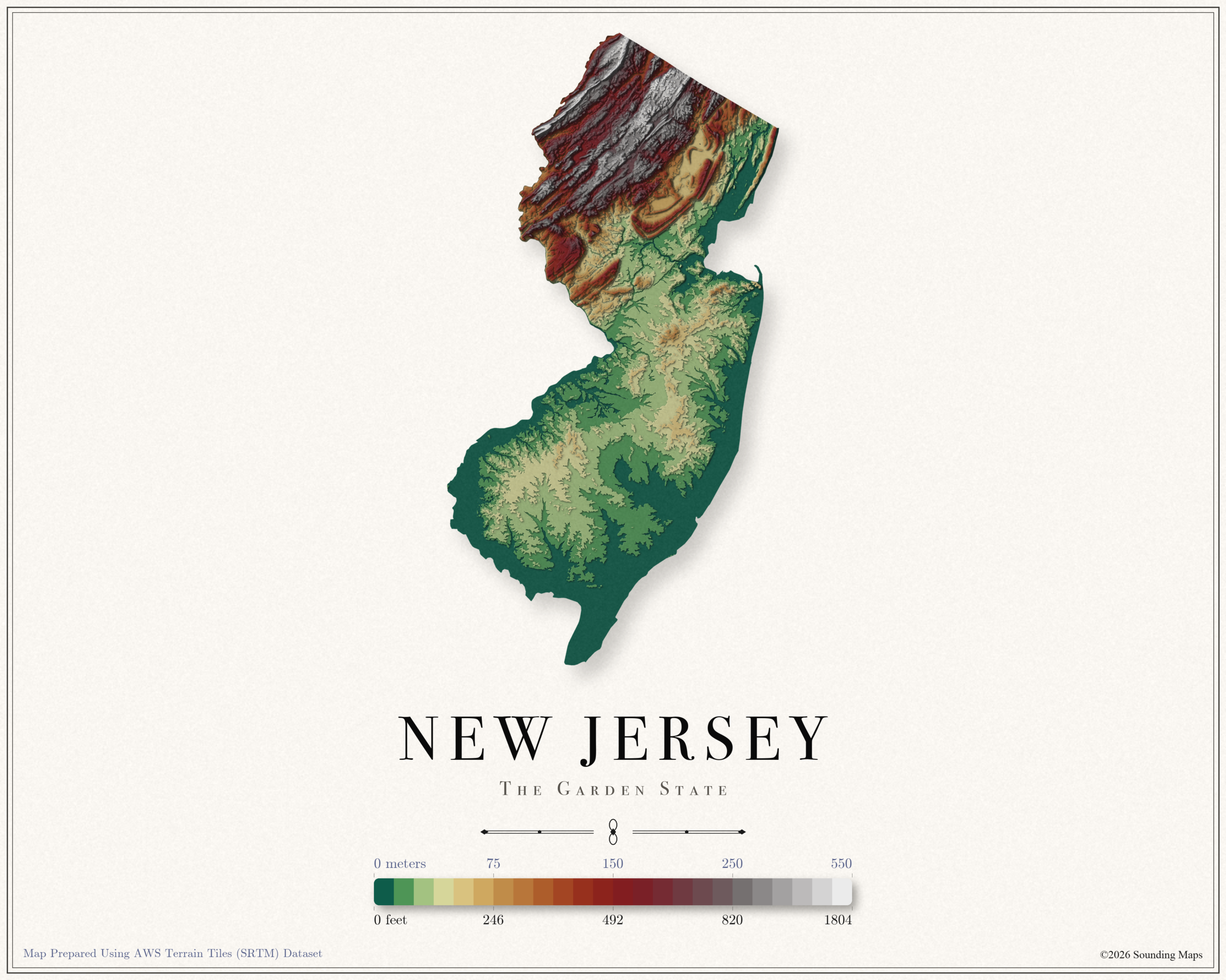
This New Jersey topographic elevation map shows the Garden State in 24 terraced elevation bands.
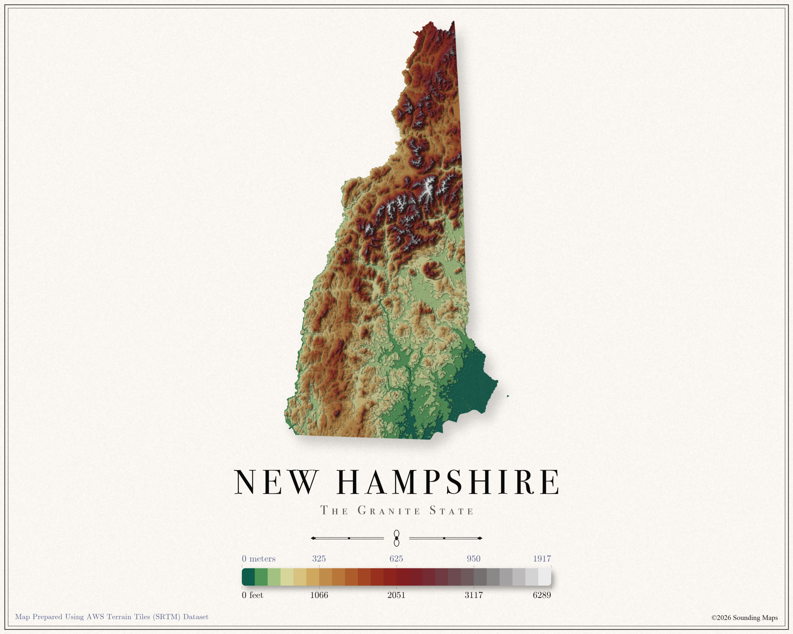
This New Hampshire topographic elevation map shows the Granite State in 24 terraced elevation bands.