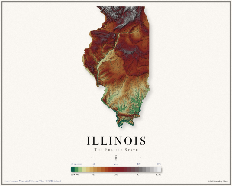
Elevation: Illinois Topographic Map
This Illinois topographic elevation map shows the Prairie State in 24 terraced elevation bands.

Mapping Data
Mapping Data
This Illinois topographic elevation map shows the Prairie State in 24 terraced elevation bands.
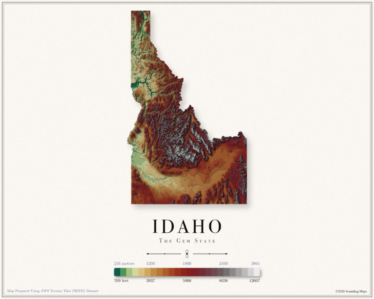
This Idaho topographic elevation map shows the Gem State in 24 terraced elevation bands.
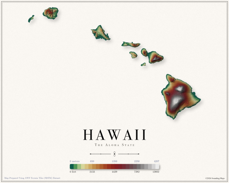
This Hawaii topographic elevation map shows the Aloha State in 24 terraced elevation bands.
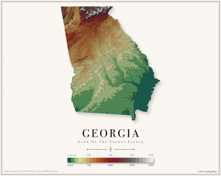
This Georgia topographic elevation map shows the Peach State in 24 terraced elevation bands.
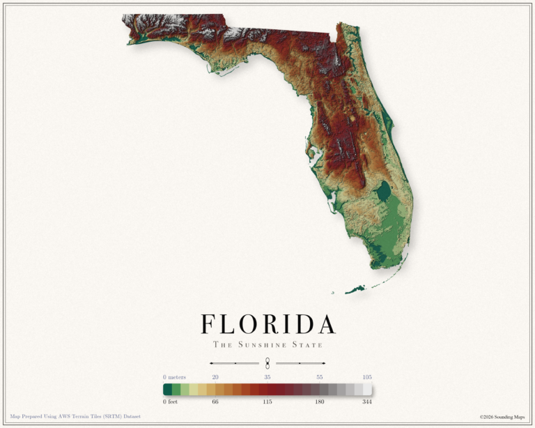
This Florida topographic elevation map shows the Sunshine State in 24 terraced elevation bands.
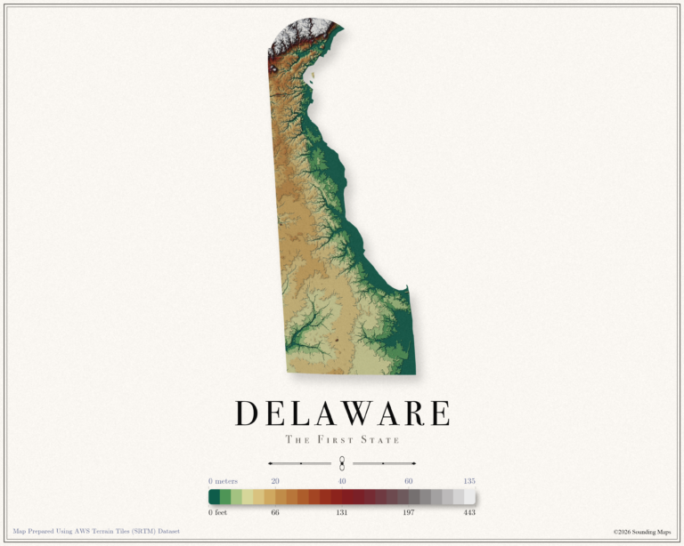
This Delaware topographic elevation map shows the First State in 24 terraced elevation bands.
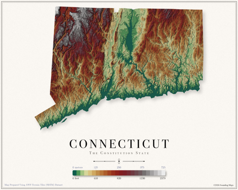
This Connecticut topographic elevation map shows the Constitution State in 24 terraced elevation bands.
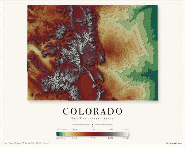
This Colorado topographic elevation map shows the Centennial State in 24 terraced elevation bands.
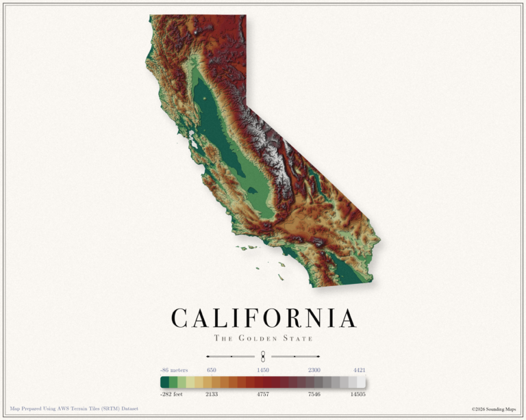
This California topographic elevation map shows the Golden State in 24 terraced elevation bands.
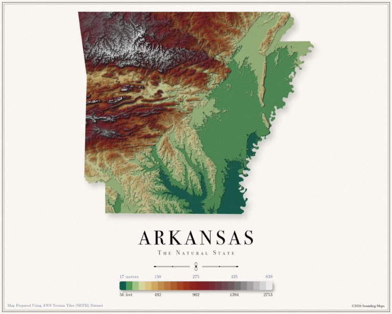
This Arkansas topographic elevation map shows the Natural State in 24 terraced elevation bands.
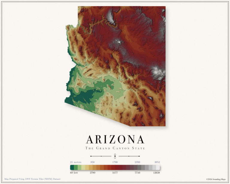
This Arizona topographic elevation map shows the Grand Canyon State in 24 terraced elevation bands.
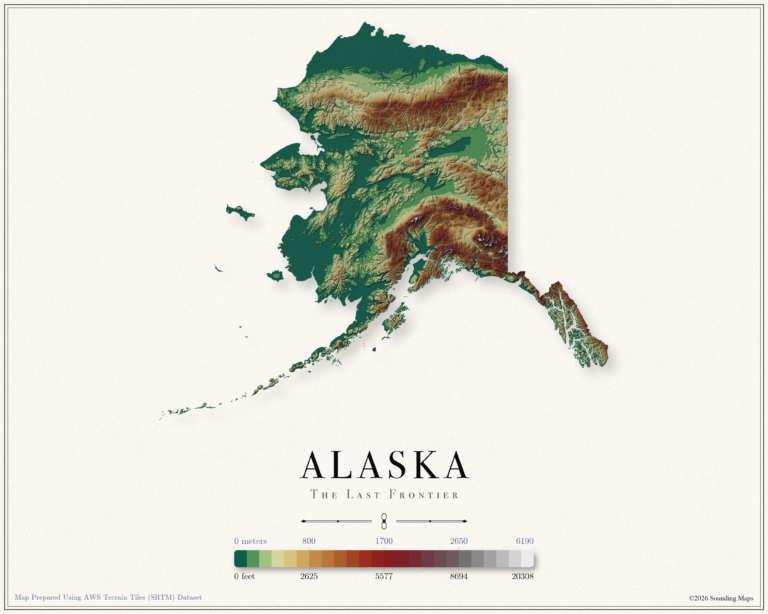
This Alaska topographic elevation map shows the Last Frontier in 24 terraced elevation bands.
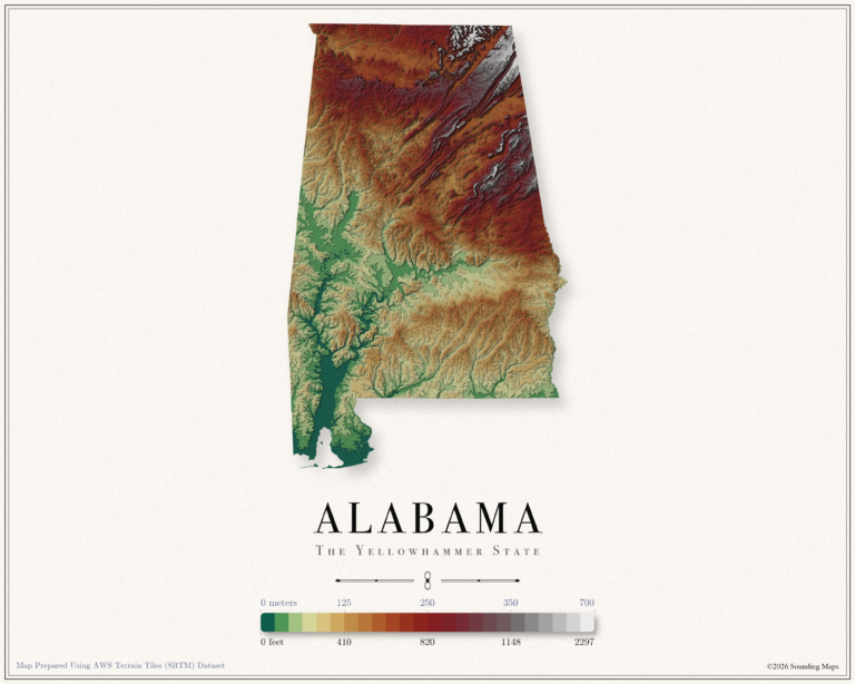
This Alabama topographic elevation map shows the Yellowhammer State in 24 terraced elevation bands.