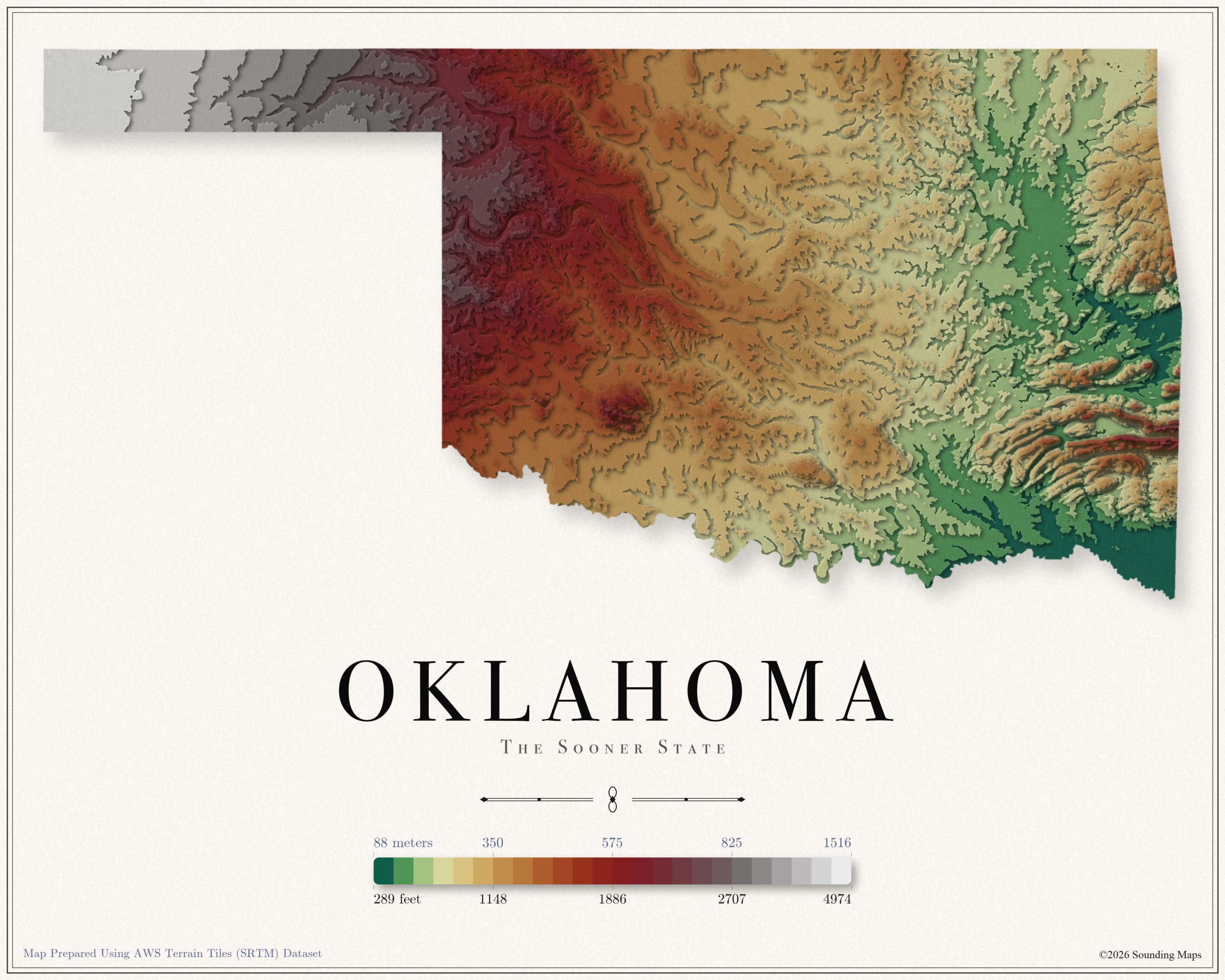
Oklahoma Elevation Map
This Oklahoma topographic elevation map shows the Sooner State in 24 terraced elevation bands.

Mapping Data
Mapping Data
Unites States elevation maps.
This Oklahoma topographic elevation map shows the Sooner State in 24 terraced elevation bands.
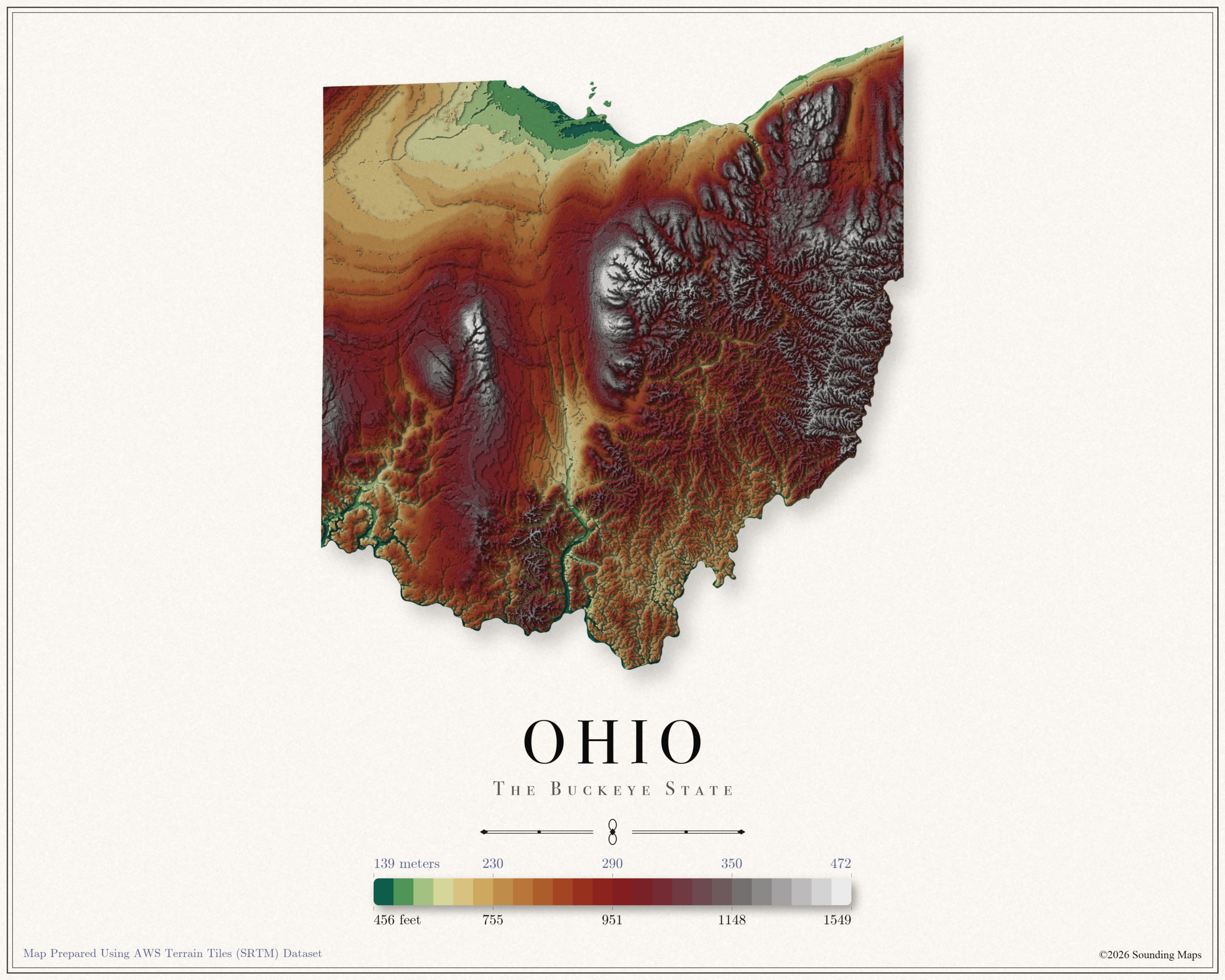
This Ohio topographic elevation map shows the Buckeye State in 24 terraced elevation bands.
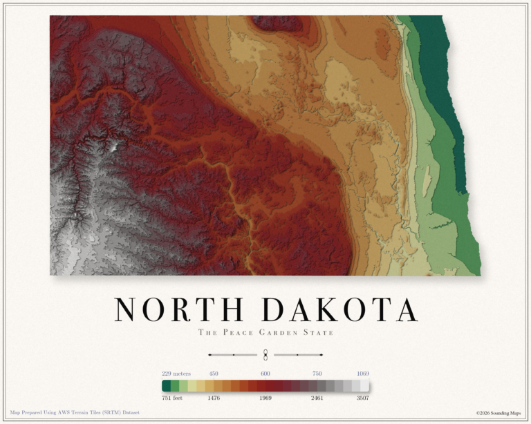
This North Dakota topographic elevation map shows the Peace Garden State in 24 terraced elevation bands.
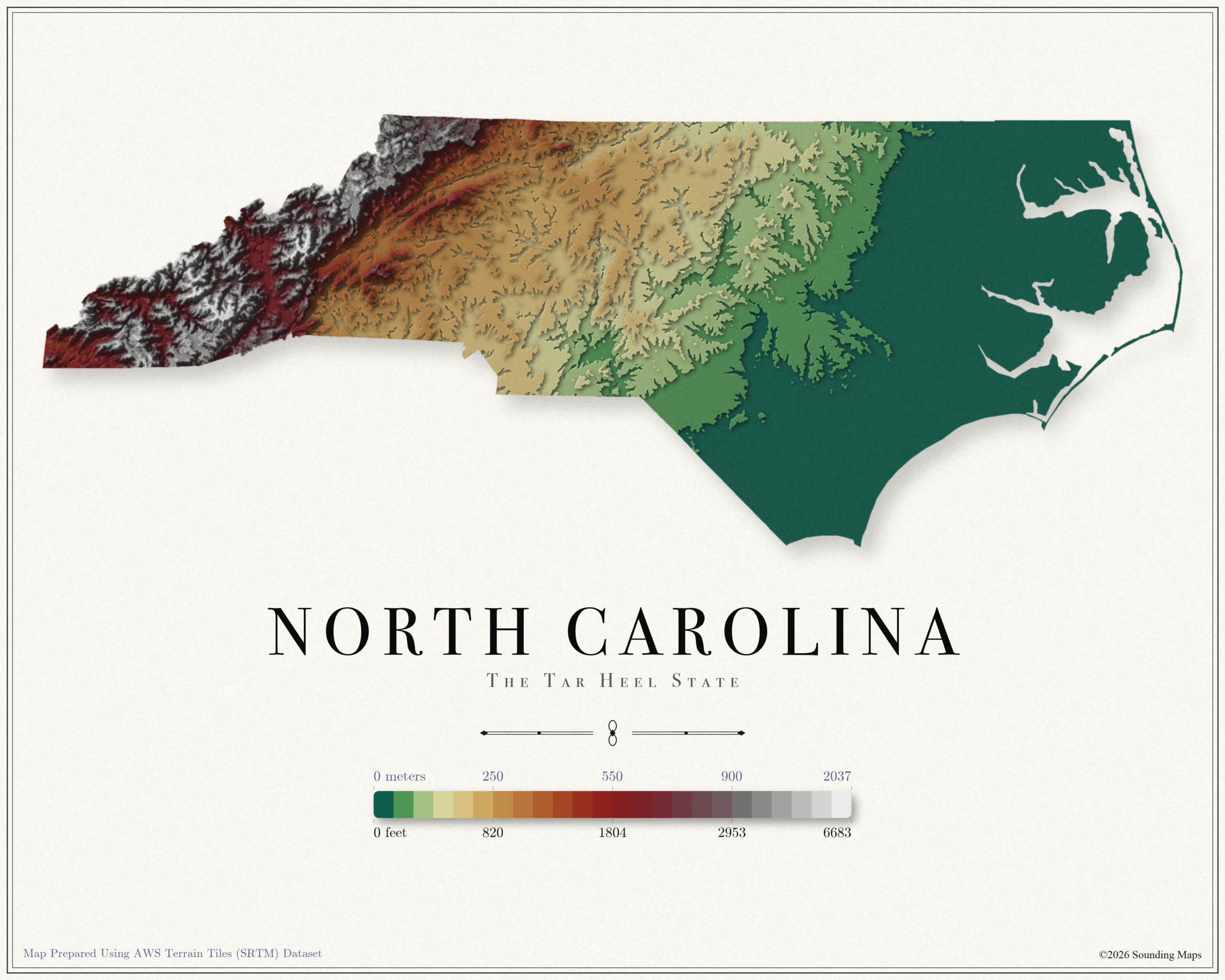
This North Carolina topographic elevation map shows the Tar Heel State in 24 terraced elevation bands.
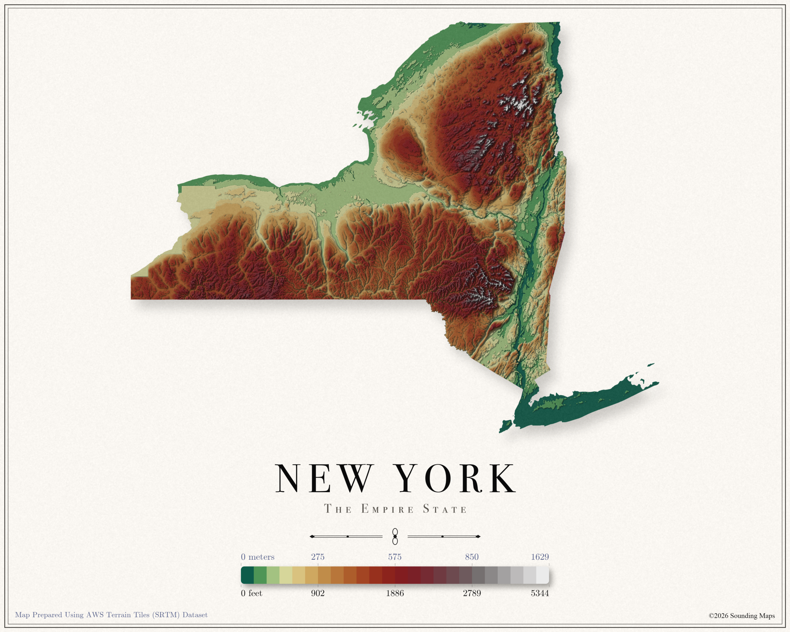
This New York topographic elevation map shows the Empire State in 24 terraced elevation bands.
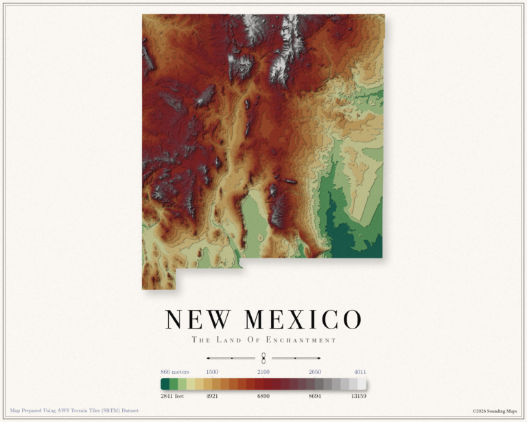
This New Mexico topographic elevation map shows the Land of Enchantment in 24 terraced elevation bands.
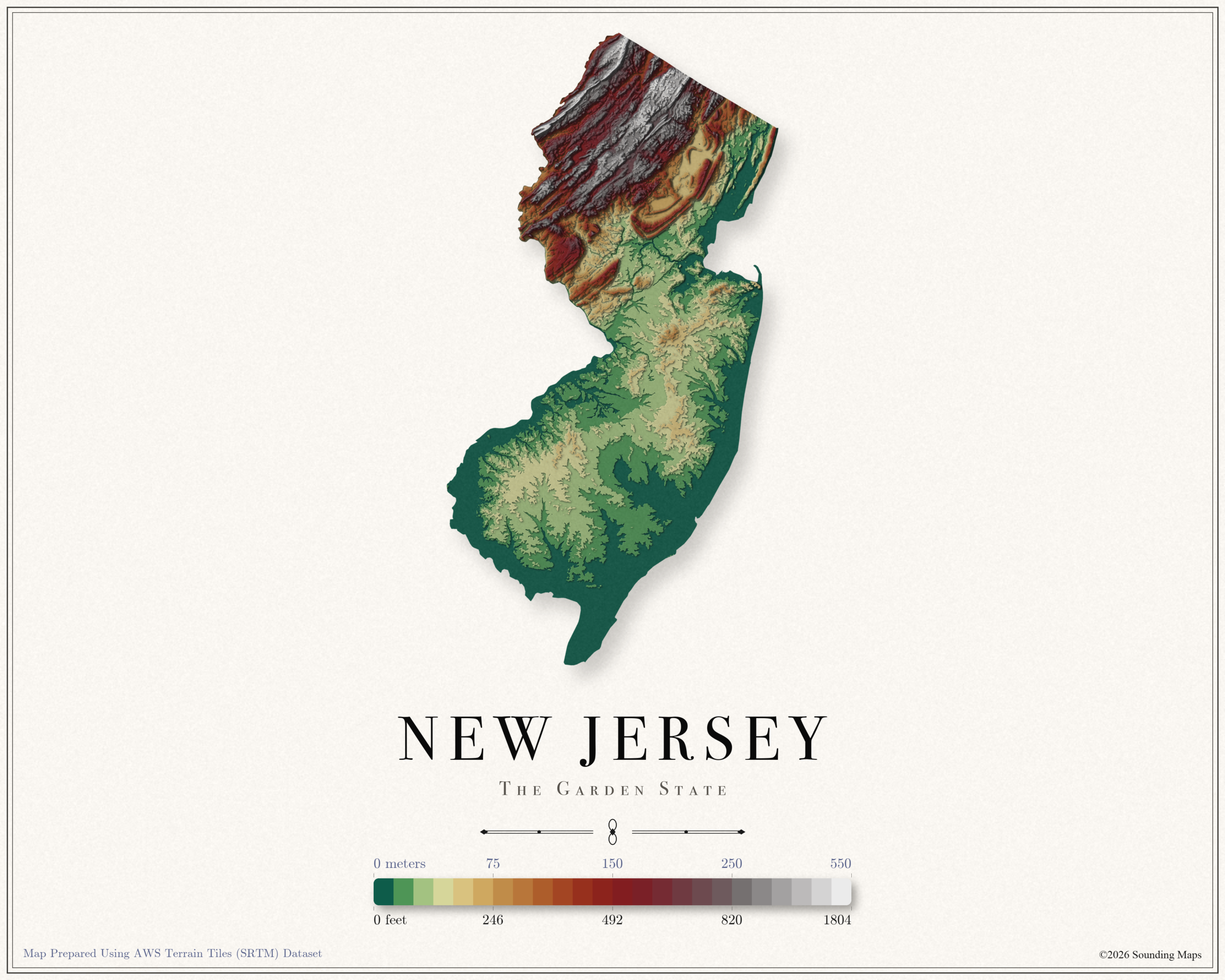
This New Jersey topographic elevation map shows the Garden State in 24 terraced elevation bands.
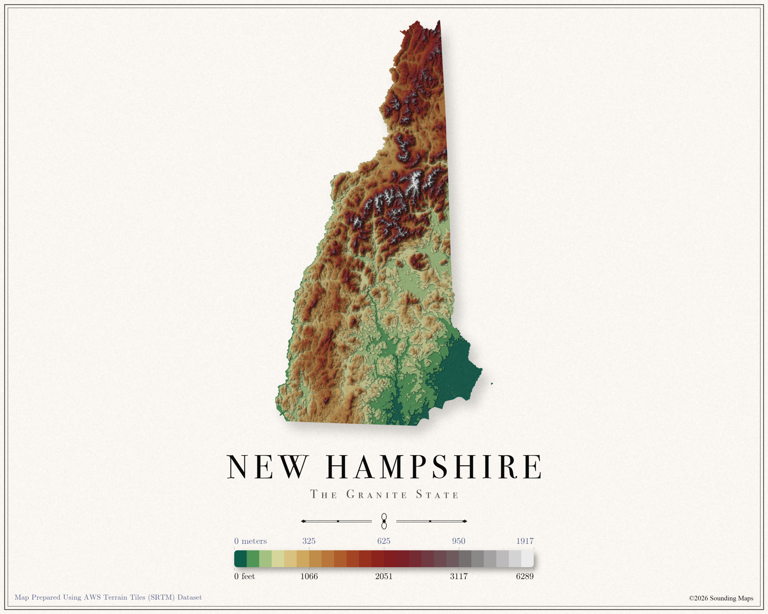
This New Hampshire topographic elevation map shows the Granite State in 24 terraced elevation bands.
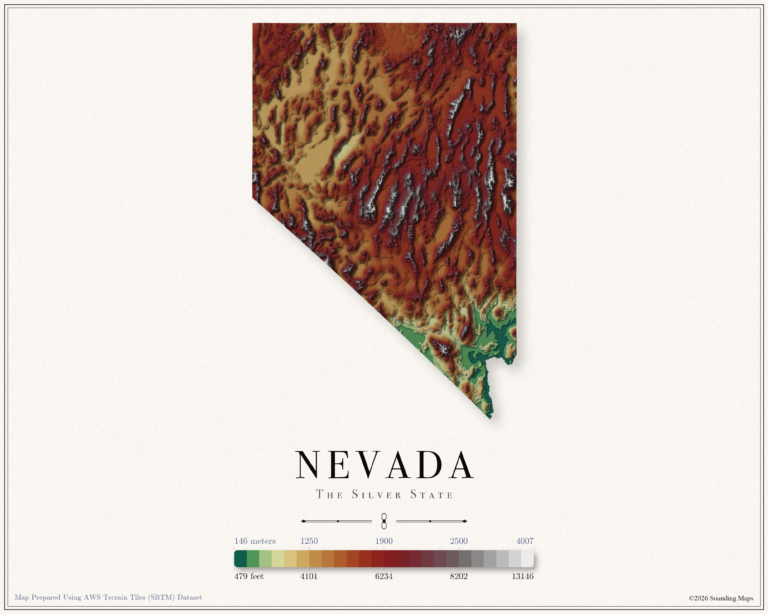
This Nevada topographic elevation map shows the Silver State in 24 terraced elevation bands.
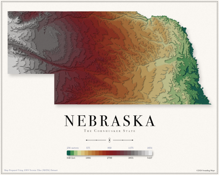
This Nebraska topographic elevation map shows the Cornhusker State in 24 terraced elevation bands.
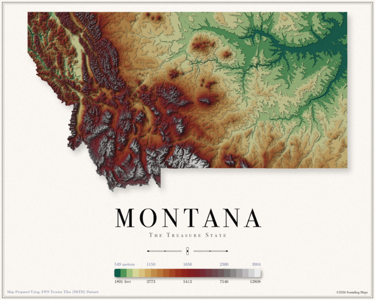
This Montana topographic elevation map shows the Treasure State in 24 terraced elevation bands.
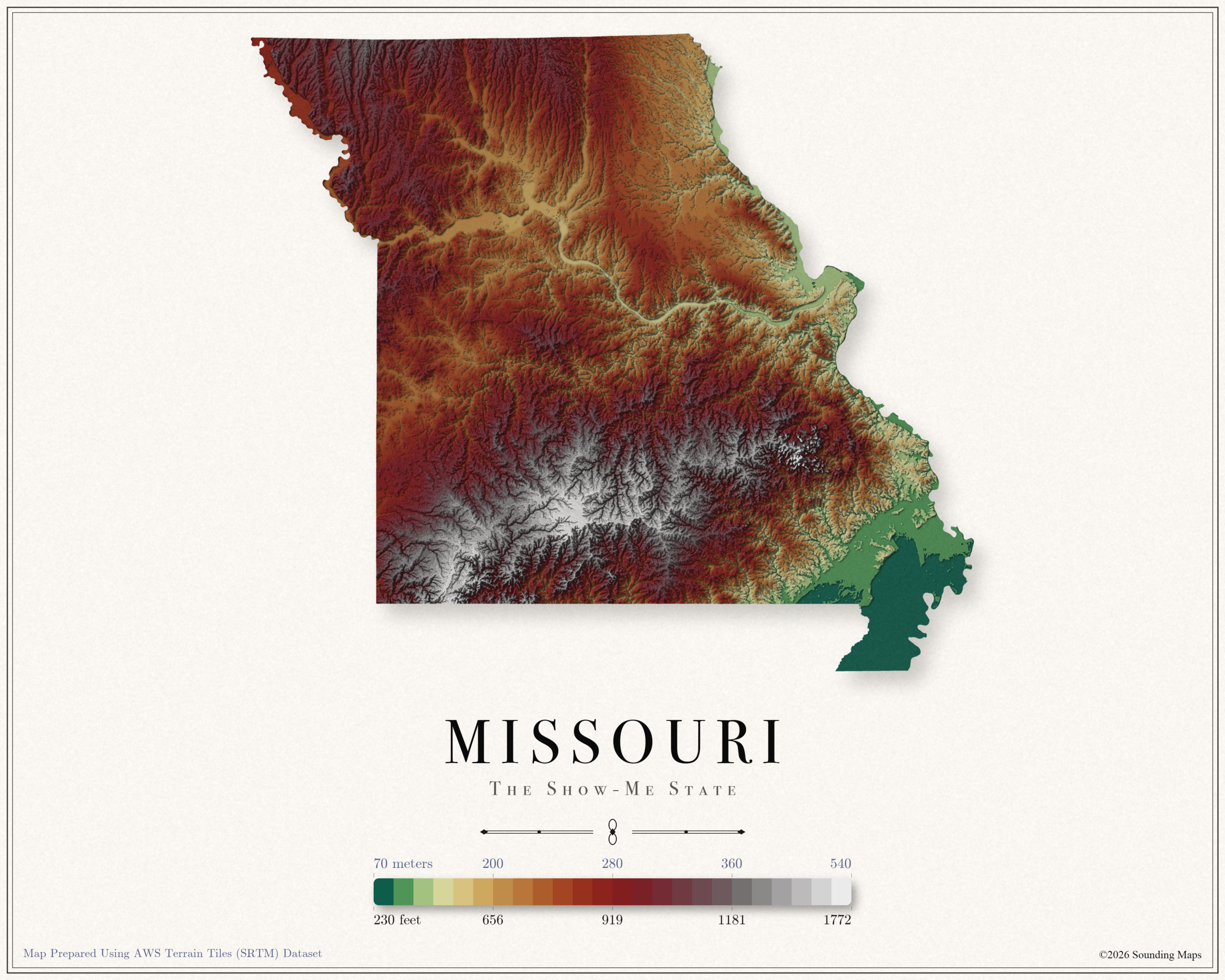
This Missouri topographic elevation map shows the Show Me State in 24 terraced elevation bands.
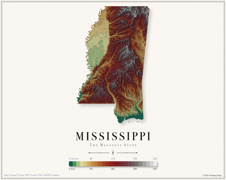
This Mississippi topographic elevation map shows the Magnolia State in 24 terraced elevation bands.
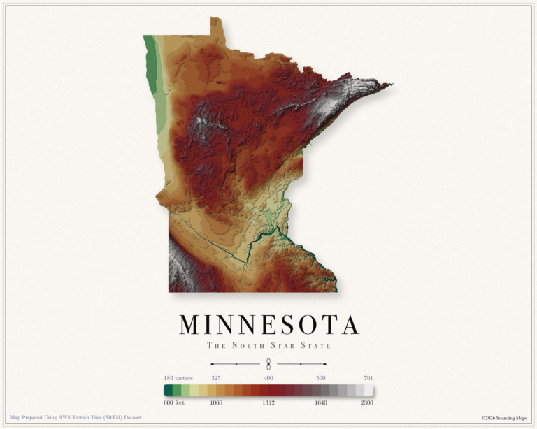
This Minnesota topographic elevation map shows the North Star State in 24 terraced elevation bands.
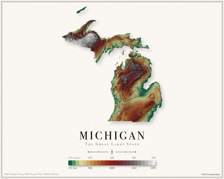
This Michigan topographic elevation map shows the Great Lakes State in 24 terraced elevation bands.