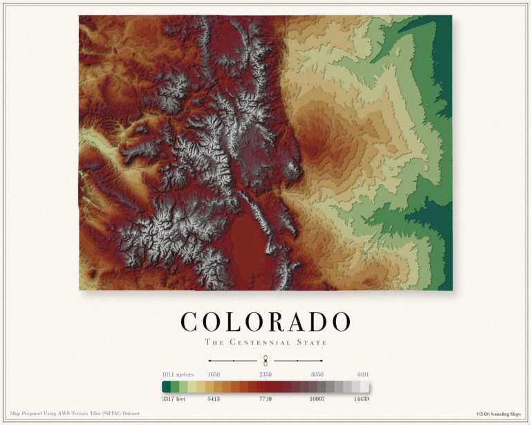
Elevation: Colorado Topographic Map
This Colorado topographic elevation map shows the Centennial State in 24 terraced elevation bands.

Mapping Data
Mapping Data
Unites States elevation maps.
This Colorado topographic elevation map shows the Centennial State in 24 terraced elevation bands.
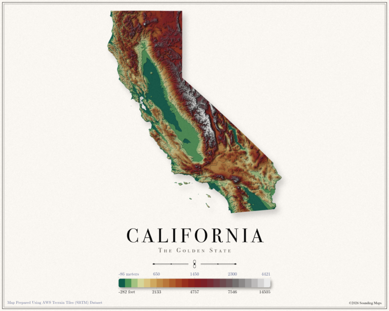
This California topographic elevation map shows the Golden State in 24 terraced elevation bands.
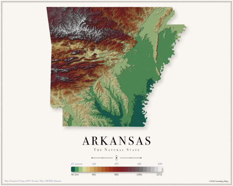
This Arkansas topographic elevation map shows the Natural State in 24 terraced elevation bands.
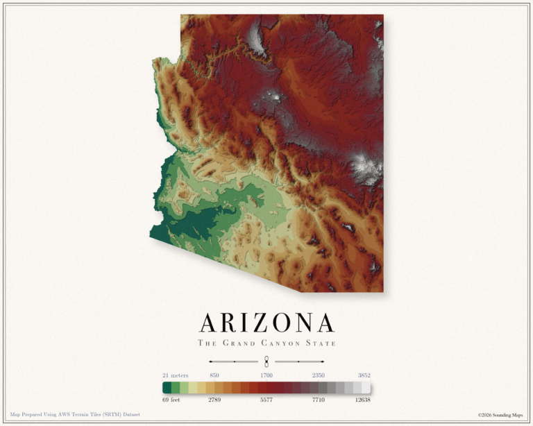
This Arizona topographic elevation map shows the Grand Canyon State in 24 terraced elevation bands.
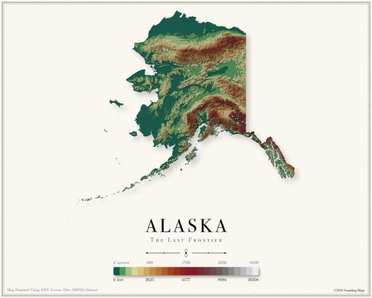
This Alaska topographic elevation map shows the Last Frontier in 24 terraced elevation bands.
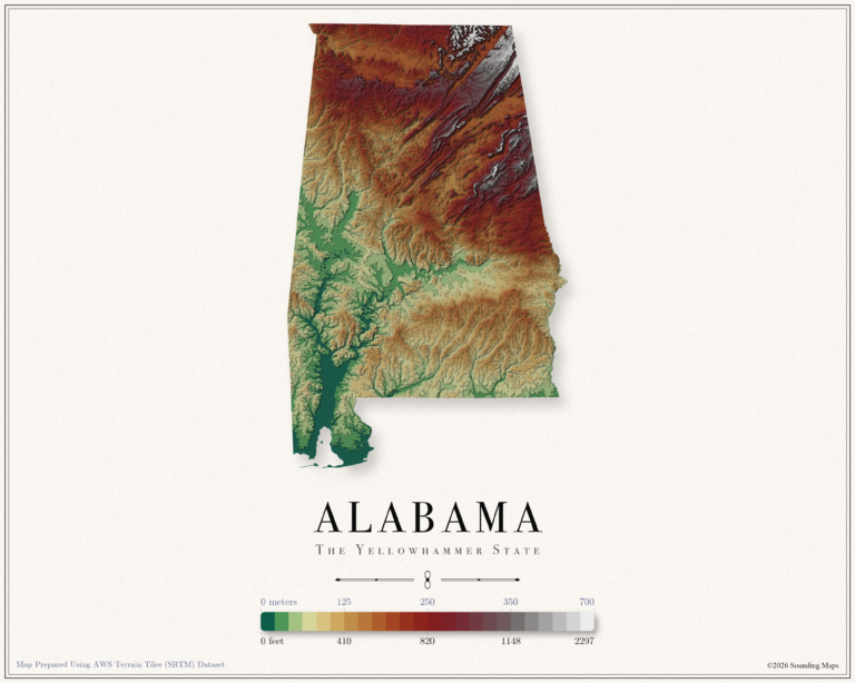
This Alabama topographic elevation map shows the Yellowhammer State in 24 terraced elevation bands.
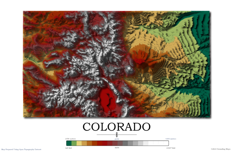
Contour Elevation Map of Colorado Each contour in this Colorado topographic elevation map represents a change of 50 meters or approximately 164 feet. Colorado is notable for its diverse geography, which includes high plains to the east, alpine mountains to…

Contour Elevation Map of California In this California topographic elevation map, each contour represents a change of 100 meters or 328 feet. California is the third largest state in the Unites States after Texas and Alaska. It has an area…