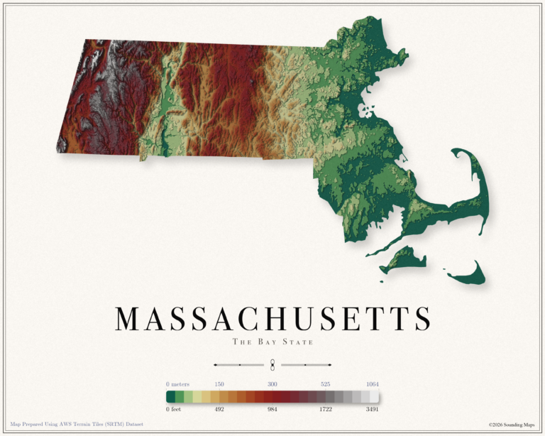
Massachusetts Elevation Map
This Massachusetts topographic elevation map shows the Bay State in 24 terraced elevation bands.

Mapping Data
Mapping Data
Unites States elevation maps.
This Massachusetts topographic elevation map shows the Bay State in 24 terraced elevation bands.
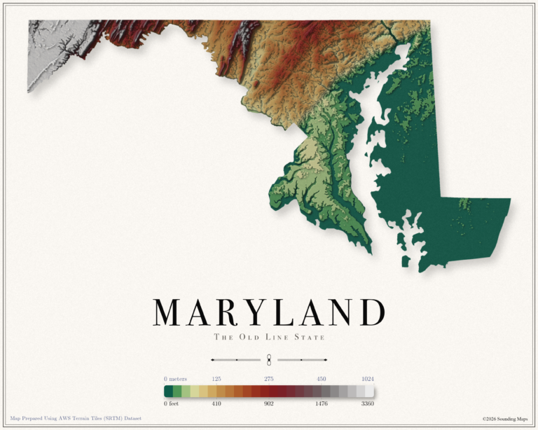
This Maryland topographic elevation map shows the Old Line State in 24 terraced elevation bands.
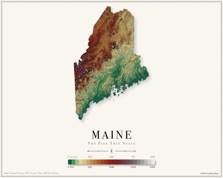
This Maine topographic elevation map shows the Pine Tree State in 24 terraced elevation bands.
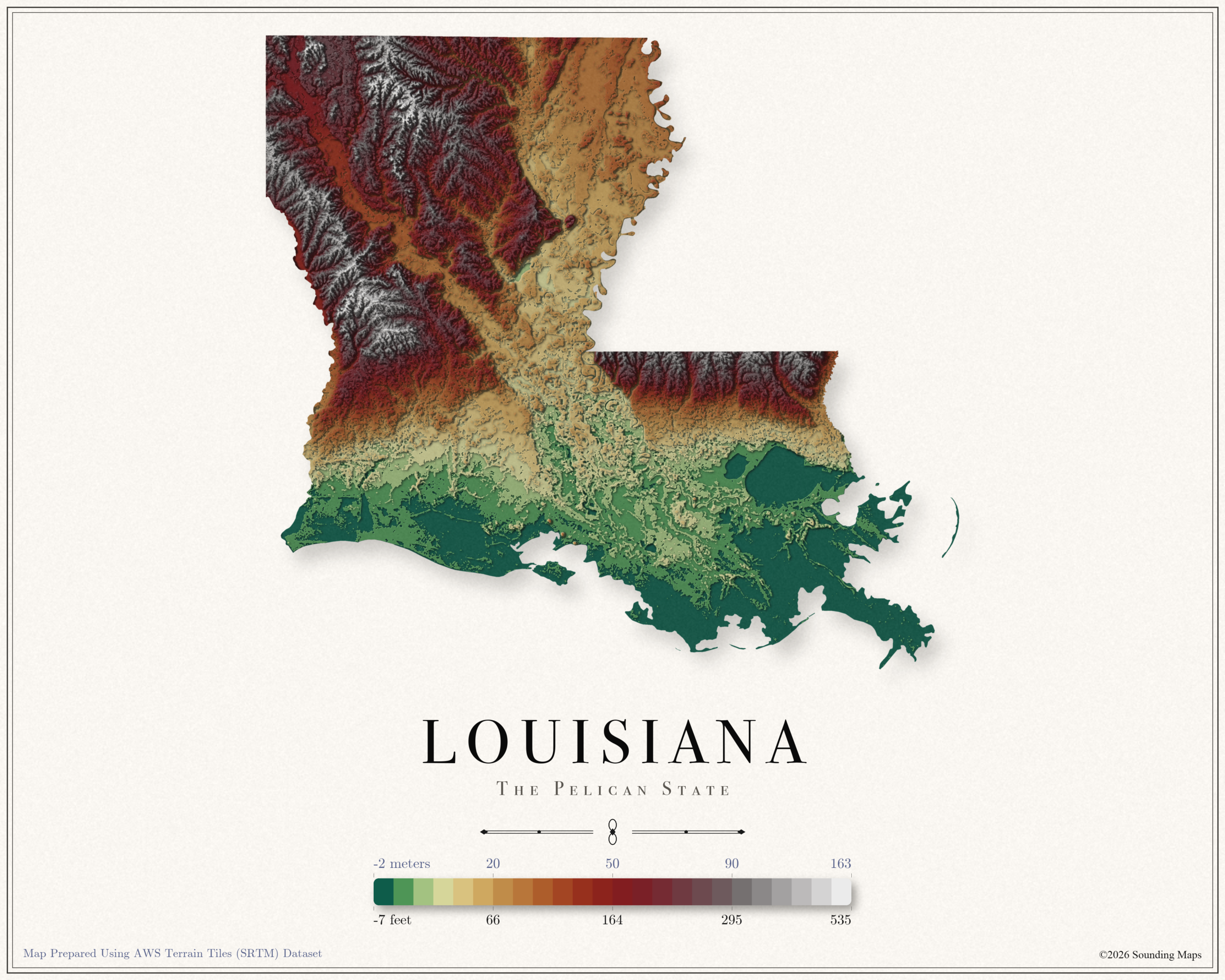
This Louisiana topographic elevation map shows the Pelican State in 24 terraced elevation bands.
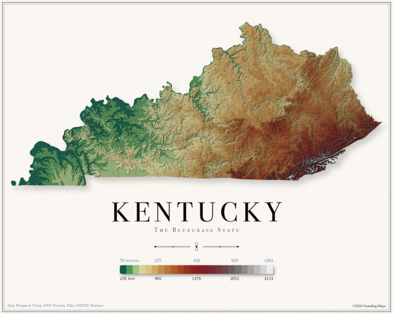
This Kentucky topographic elevation map shows the Bluegrass State in 24 terraced elevation bands.
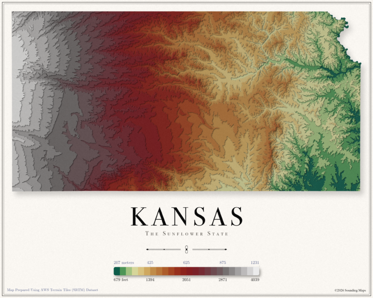
This Kansas topographic elevation map shows the Sunflower State in 24 terraced elevation bands.
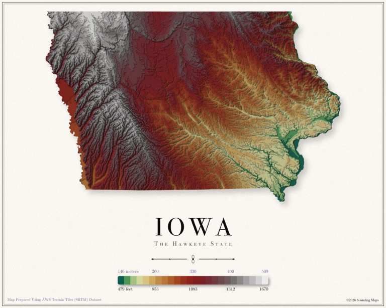
This Iowa topographic elevation map shows the Hawkeye State in 24 terraced elevation bands.
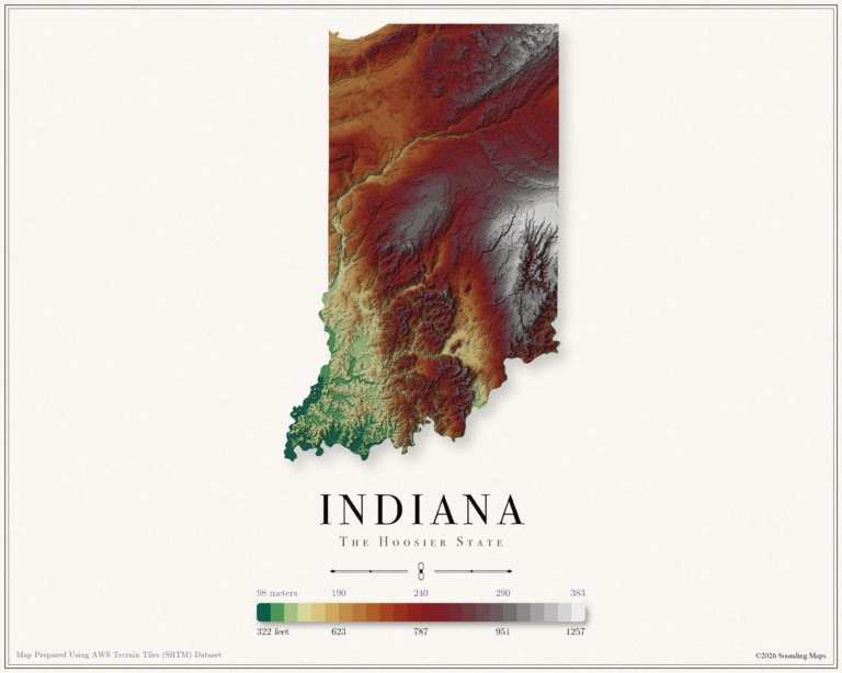
This Indiana topographic elevation map shows the Hoosier State in 24 terraced elevation bands.
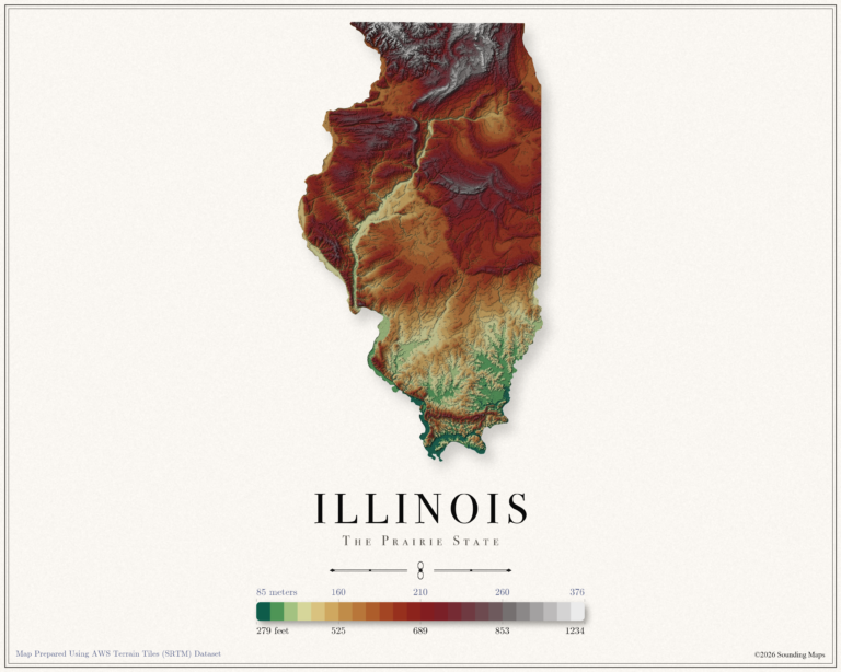
This Illinois topographic elevation map shows the Prairie State in 24 terraced elevation bands.
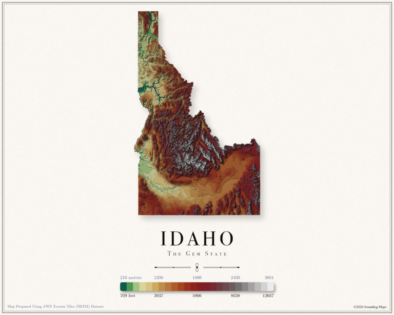
This Idaho topographic elevation map shows the Gem State in 24 terraced elevation bands.
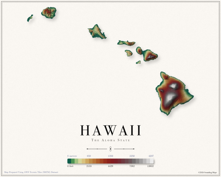
This Hawaii topographic elevation map shows the Aloha State in 24 terraced elevation bands.
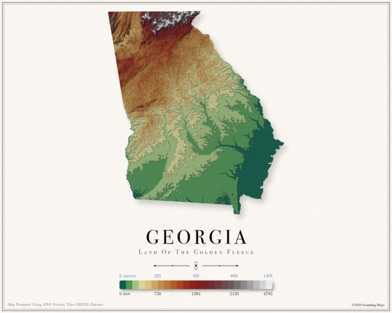
This Georgia topographic elevation map shows the Peach State in 24 terraced elevation bands.
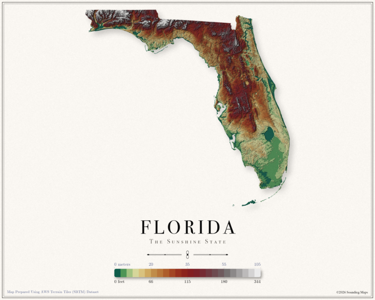
This Florida topographic elevation map shows the Sunshine State in 24 terraced elevation bands.
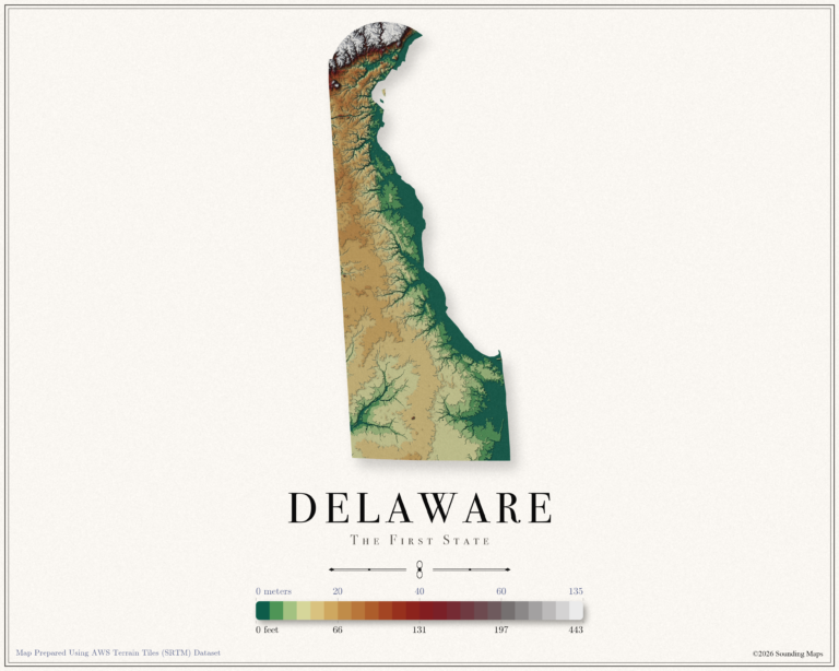
This Delaware topographic elevation map shows the First State in 24 terraced elevation bands.
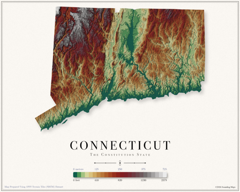
This Connecticut topographic elevation map shows the Constitution State in 24 terraced elevation bands.