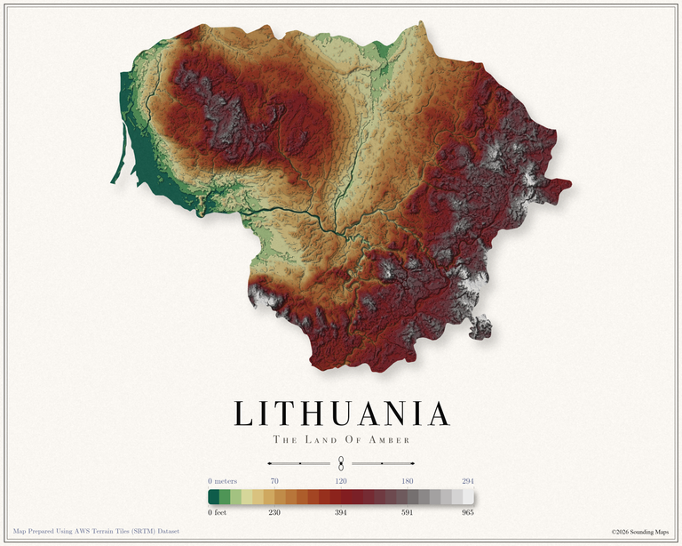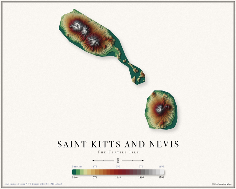
Poland Elevation Map
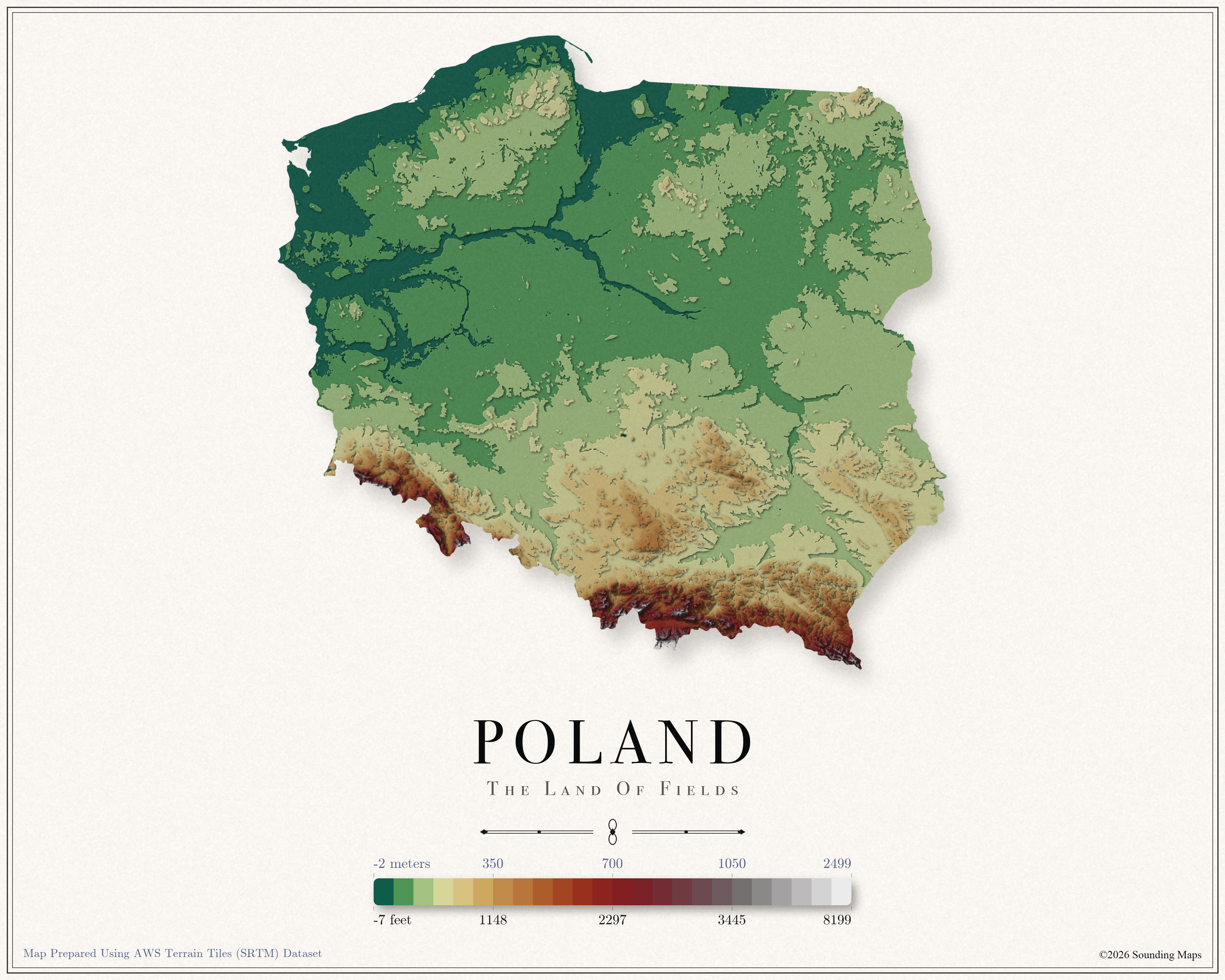
Elevation Map of Poland
This Poland topographic elevation map shows the landscape in 24 terraced elevation bands. The scale runs from -2 meters (-7 ft) up to 2,499 meters (8,199 ft). Each band steps through the relief in sequence, so the map reads like a physical relief model. Lowlands appear in deep greens, middle elevations warm into golds and reds, and the highest terrain fades into grays and whites.
Poland covers about 312,696 square kilometers (120,731 sq mi). Poland spans from a small below sea level pocket near the Baltic to the granite peaks of the High Tatras, though most of the country rests on the great European plain.
Highest Point in Poland
Rysy, at 8,199 ft (2,499 m), is the highest point in Poland. On this topographic map, it anchors the pale summit end of the elevation scale.
Lowest Point in Poland
The lowest point in Poland is Raczki Elblaskie in the Vistula delta, at 7 ft (2 m) below sea level. On the relief map, this terrain fills the deep green base of the color scale.
Poland Map Datasets
I prepared this relief map with elevation data from the AWS Terrain Tiles dataset. The dataset builds on the NASA Shuttle Radar Topography Mission (SRTM) along with other open topographic sources, and it serves global elevation data as map tiles that anyone can access.
The map spaces its 24 elevation bands with a blend of two methods. Half of the spacing follows equal elevation steps. The other half follows equal land area, a technique known as histogram equalization.
Why blend them?
A fixed interval scale would leave flatter regions sitting in a single color, which hides their topography. On the other hand, full histogram equalization would push a quarter of the land into summit tones. The blend lets this elevation map use the entire relief palette while the legend stays honest. Each label marks the true elevation behind its band, which is why the values are not evenly spaced.